All Saints Church, South Downs National Park

Gallery (2)
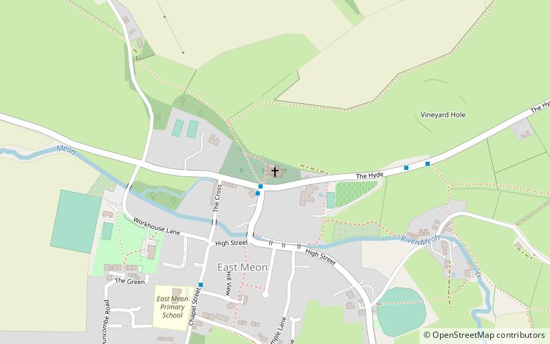
Map
Map
Gallery
Facts and practical information
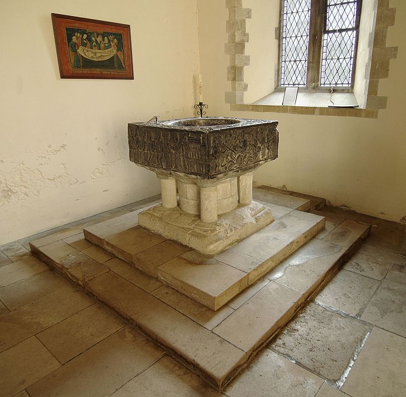
All Saints Church is an Anglican parish church in the village of East Meon, Hampshire, England. It is a Grade I listed building and the oldest building in the village, lying so tight to a hill to the north of the village – part of the South Downs – that there was no room for a north aisle to be built. Most of the church dates from the Norman period, with the south chapel and south aisle being added in the 13th century. ()
Coordinates: 50°59'45"N, 1°1'53"W
Day trips


