St Christopher's Church, Birmingham
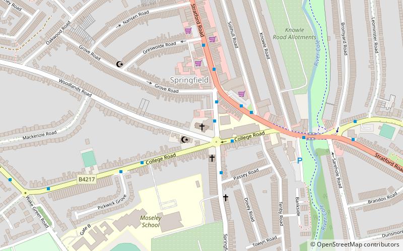
Map

Map

Facts and practical information
St Christopher's Church, Springfield is a Church of England building in the Anglican Diocese of Birmingham. ()
Coordinates: 52°26'37"N, 1°51'35"W
Day trips
St Christopher's Church – popular in the area (distance from the attraction)
Nearby attractions include: Public Library and Baths, Sarehole Mill, Tyseley TMD, St Mary's Church.
Frequently Asked Questions (FAQ)
Which popular attractions are close to St Christopher's Church?
Nearby attractions include Sparkhill Library, Birmingham (13 min walk), West Midlands Police Museum, Birmingham (14 min walk), Moseley Bog, Birmingham (14 min walk), Sarehole Mill, Birmingham (17 min walk).
How to get to St Christopher's Church by public transport?
The nearest stations to St Christopher's Church:
Train
Bus
Train
- Hall Green (20 min walk)
- Spring Road (26 min walk)
Bus
- Warwick Road / Stratford Rd • Lines: 4, 4A (26 min walk)
- Saint Marys Row / Moseley Village • Lines: 1, 1A (31 min walk)


