St Margaret's Church, Manchester
Map
Facts and practical information
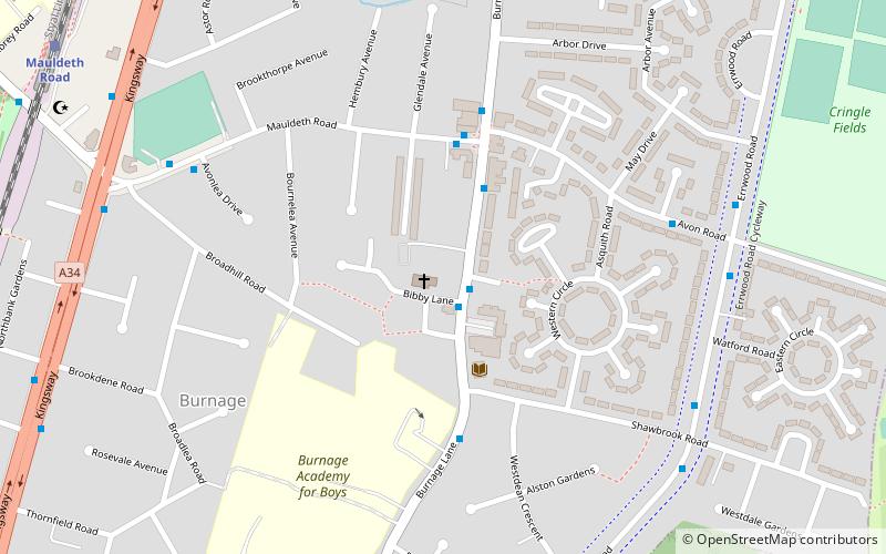
St Margaret's Church is in Burnage Lane, Burnage, a neighbourhood of Manchester, England. It is an active Anglican parish church in the deanery of Heaton, the archdeaconry of Manchester, and the diocese of Manchester. It is recorded in the National Heritage List for England as a Grade II listed building, having been designated on 9 February 2012. ()
Completed: 1926 (100 years ago)Architectural style: Gothic revivalCoordinates: 53°25'52"N, 2°12'5"W
Getting there by public transportation
Public transportation stops near this location
- Bus
- Tram
- Train
 Bus
Bus
- Calculate routeBurnage, Burnage Lane / opposite Farmers Arms 1 min walk
- Calculate routeBurnage, Mauldeth Road / near Burnage Lane 3 min walk
- Calculate routeMauldeth Road 10 min walk
- Calculate routeBurnage 22 min walk
- Calculate routeHeaton Chapel 25 min walk
- Calculate routeLevenshulme 27 min walk
- Calculate routeDidsbury Village 38 min walk
Maps MetrolinkMaps
 Metrolink / Rail
MetrolinkMapsMetrolink / RailDay trips


Frequently Asked Questions (FAQ)
Which popular attractions are close to St Margaret's Church?
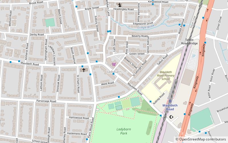
Nearby attractions include Ladybarn, Manchester (15 min walk), Church of St Nicholas, Manchester (24 min walk).
How to get to St Margaret's Church by public transport?
The nearest stations to St Margaret's Church:
Bus
Train
Tram
Bus
- Burnage, Burnage Lane / opposite Farmers Arms • Lines: 197, 25 (1 min walk)
- Burnage, Mauldeth Road / near Burnage Lane • Lines: 25 (3 min walk)
Train
- Mauldeth Road (10 min walk)
- Burnage (22 min walk)
Tram
- Didsbury Village • Lines: EDid, Roch, Shaw (38 min walk)