Millbrook, Southampton
Map

Map

Facts and practical information
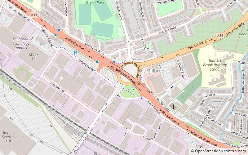
Millbrook is a suburb and former civil parish of Southampton. As the area developed, several settlements grew within the parish, some of them becoming parishes in their own right, thus reducing the extent of the Millbrook parish. As well as the Millbrook of today, the original Millbrook parish included Freemantle, Regents Park, and Redbridge. Some of these areas are still referred to as being part of Millbrook. The brook that Millbrook was named after is now known as Tanner's Brook. ()
Coordinates: 50°55'2"N, 1°27'25"W
Address
Southampton Test (Redbridge)Southampton
ContactAdd
Social media
Add
Day trips
Millbrook – popular in the area (distance from the attraction)
Nearby attractions include: Eling Tide Mill, Shirley Baptist Church, St James Park, Shirley.
Frequently Asked Questions (FAQ)
How to get to Millbrook by public transport?
The nearest stations to Millbrook:
Bus
Train
Bus
- Millbrook Roundabout • Lines: 8 (3 min walk)
- Redbridge, Parkside Avenue • Lines: 1, 8 (7 min walk)
Train
- Redbridge (15 min walk)
- Millbrook (28 min walk)


