Maybush, Southampton
Map
Facts and practical information
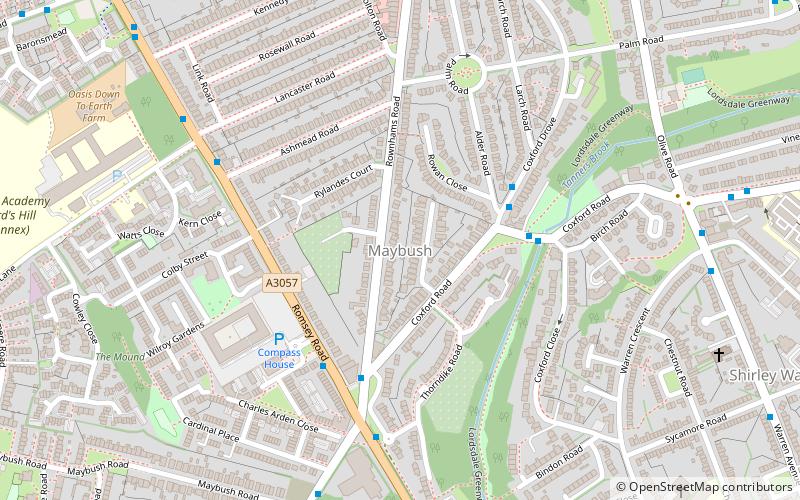
Maybush is a district in the city of Southampton, England. Located in the western side of the city, Maybush is the former location of the Ordnance Survey head office and approximately occupies the SU3814 kilometer square. It is in the Southampton Test parliamentary constituency. ()
Coordinates: 50°55'59"N, 1°26'49"W
Address
Southampton Test (Redbridge)Southampton
ContactAdd
Social media
Add
Getting there by public transportation
Public transportation stops near this location
- Bus
- Train
 Bus
Bus
- Calculate routeGeneral Hospital, Main Entrance 17 min walk
- Calculate routeDale Valley Road 19 min walk
- Calculate routeDale Road 21 min walk
- Calculate routeRedbridge 35 min walk
Day trips


Frequently Asked Questions (FAQ)
Which popular attractions are close to Maybush?
Nearby attractions include Lordshill Library, Southampton (13 min walk), Hollybrook Cemetery, Southampton (21 min walk), Shirley, Southampton (22 min walk), St James Park, Southampton (22 min walk).
How to get to Maybush by public transport?
The nearest stations to Maybush:
Bus
Train
Bus
- General Hospital, Main Entrance • Lines: U9 (17 min walk)
- Dale Valley Road • Lines: U9 (19 min walk)
Train
- Redbridge (35 min walk)