Llaingoch, Holy Island

Map
Facts and practical information
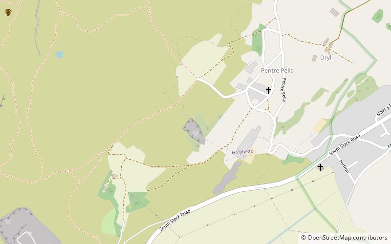
Llaingoch is an area of Holyhead in North Wales that lies between the town centre and Holyhead Mountain. The name comes from the Welsh llain, plot or patch of land, and goch, red. ()
Coordinates: 53°18'40"N, 4°39'58"W
Address
Holy Island
ContactAdd
Social media
Add
Day trips
Llaingoch – popular in the area (distance from the attraction)
Nearby attractions include: Holyhead Mountain, Holyhead Mountain Hut Circles, Caer y Twr, Penrhos Feilw Standing Stones.
Frequently Asked Questions (FAQ)
Which popular attractions are close to Llaingoch?
Nearby attractions include Caer y Twr, Holy Island (11 min walk), Holyhead Mountain, Holy Island (11 min walk), Holyhead Mountain Hut Circles, Holyhead (24 min walk).


