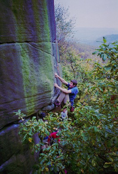
Gardom's Edge, Peak District

Gallery (2)
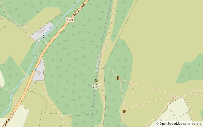
Map
Map
Gallery
Facts and practical information
Gardom's Edge is a rocky outcrop near Baslow in Derbyshire, England. ()
Coordinates: 53°15'22"N, 1°35'40"W
Address
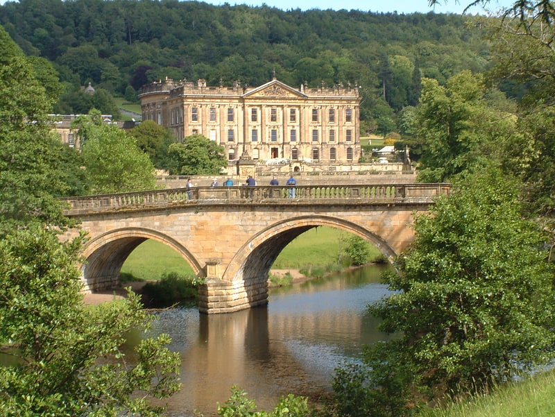
Peak District
ContactAdd
Social media
Add
Getting there by public transportation
Public transportation stops near this location
- Bus
 Bus
Bus
- Calculate routeBaslow 15 min walk
- Calculate routeRobin Hood 22 min walk
Day trips


Frequently Asked Questions (FAQ)
How to get to Gardom's Edge by public transport?
The nearest stations to Gardom's Edge:
Bus
Bus
- Baslow • Lines: 218 (15 min walk)
- Robin Hood • Lines: X71 (22 min walk)