Upper Derwent Valley, Peak District
Map

Gallery

Facts and practical information
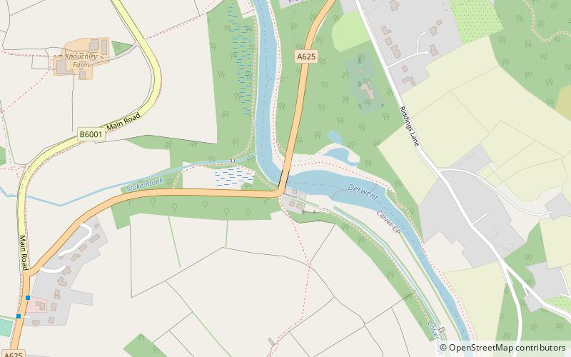
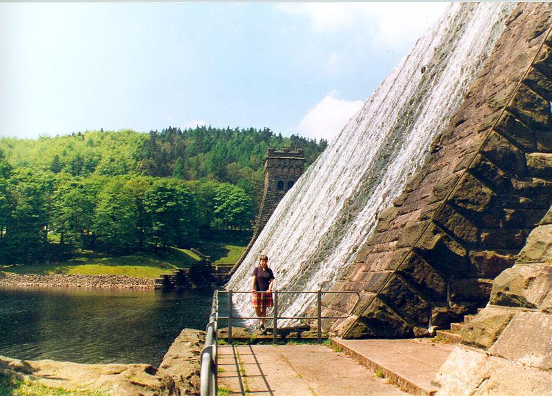
The Upper Derwent Valley is an area of the Peak District National Park in England. It largely lies in Derbyshire, but its north eastern area lies in Sheffield, South Yorkshire. Its most significant features are the Derwent Dams, Ladybower, Derwent and Howden, which form Ladybower Reservoir, Derwent Reservoir and Howden Reservoir respectively. ()
Coordinates: 53°16'28"N, 1°38'8"W
Address
Peak District
ContactAdd
Social media
Add
Day trips
Upper Derwent Valley – popular in the area (distance from the attraction)
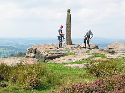
Nearby attractions include: Birchen Edge, Eyam Museum, Eyam Hall, Padley Gorge.
Frequently Asked Questions (FAQ)
Which popular attractions are close to Upper Derwent Valley?
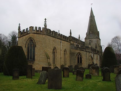
Nearby attractions include All Saints' Church, Peak District (17 min walk), St Martin's Church, Peak District (20 min walk), Froggatt Edge, Peak District (20 min walk).
How to get to Upper Derwent Valley by public transport?
The nearest stations to Upper Derwent Valley:
Bus
Bus
- Calver • Lines: 257, 65 (10 min walk)
- Calver Sough • Lines: 257, 65 (11 min walk)


