Padley Gorge, Peak District

Gallery (2)
Map
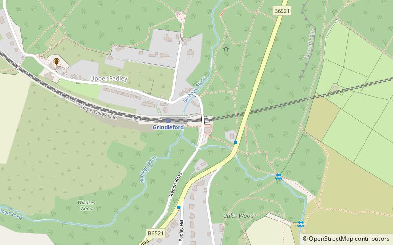
Map
Gallery
Facts and practical information
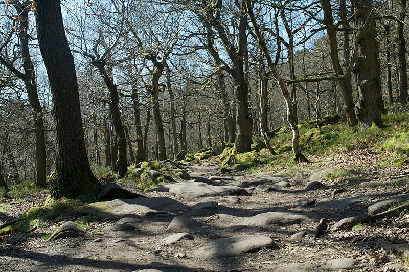
Padley Gorge is a deep but narrow valley in the Peak District, Derbyshire between the village of Grindleford and the A6187 road. ()
Coordinates: 53°18'20"N, 1°37'29"W
Address
Peak District
ContactAdd
Social media
Add
Getting there by public transportation
Public transportation stops near this location
- Bus
- Train
 Bus
Bus
- Calculate routeGrindleford 2 min walk
- Calculate routeGrindleford Padley Hill 4 min walk
Day trips


Frequently Asked Questions (FAQ)
How to get to Padley Gorge by public transport?
The nearest stations to Padley Gorge:
Train
Bus
Train
- Grindleford (2 min walk)
Bus
- Grindleford Padley Hill • Lines: 65 (4 min walk)