Shardlow and Great Wilne, Shardlow
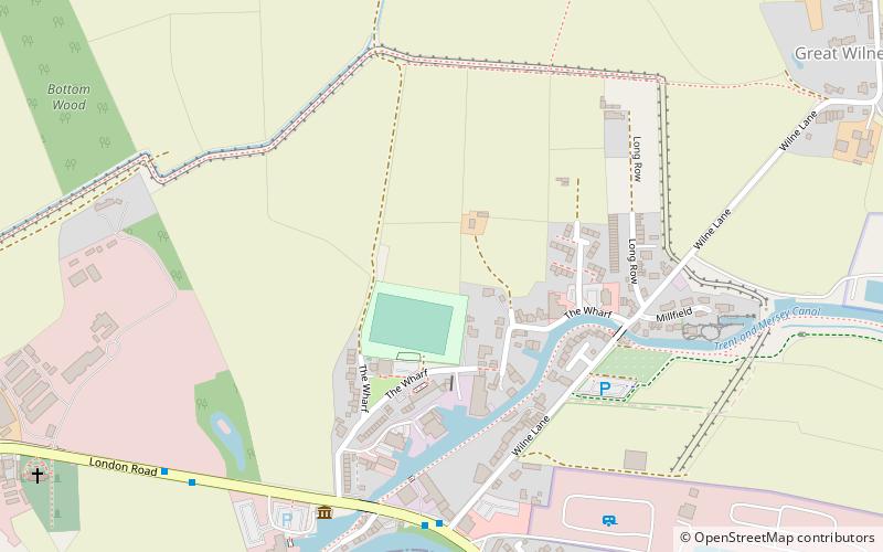
Map
Facts and practical information
Shardlow and Great Wilne is a civil parish in the South Derbyshire district of the English county of Derbyshire. The population of the civil parish taken at the 2011 Census was 1,199. ()
Coordinates: 52°52'16"N, 1°20'35"W
Address
Shardlow
ContactAdd
Social media
Add
Getting there by public transportation
Public transportation stops near this location
- Bus
 Bus
Bus
- Calculate routeNavigation Inn 6 min walk
- Calculate routeLondon Road 7 min walk
Day trips


Frequently Asked Questions (FAQ)
Which popular attractions are close to Shardlow and Great Wilne?
Nearby attractions include St James' Church, Shardlow (10 min walk), Cavendish Bridge, Shardlow (13 min walk).
How to get to Shardlow and Great Wilne by public transport?
The nearest stations to Shardlow and Great Wilne:
Bus
Bus
- Navigation Inn • Lines: SkyLink (6 min walk)
- London Road • Lines: SkyLink (7 min walk)