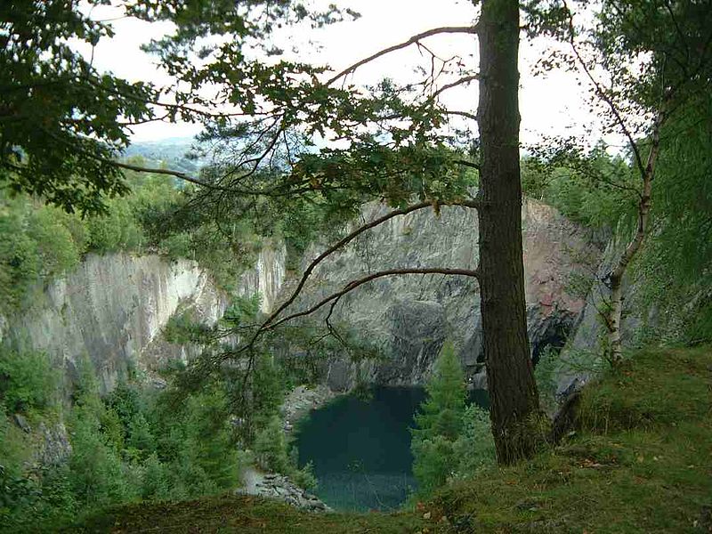
Holme Fell, Elterwater

Gallery (2)
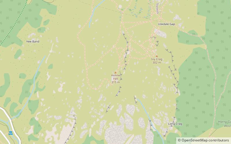
Map
Map
Gallery
Facts and practical information
Holme Fell or Holm Fell is a fell in the Lake District in Cumbria, England. It is located between Coniston Water and Little Langdale, almost isolated from the neighbouring Coniston Fells by Yewdale Beck. ()
Elevation: 1040 ftProminence: 541 ftCoordinates: 54°23'47"N, 3°3'23"W
Address
Elterwater
ContactAdd
Social media
Add
Day trips


