Foxholes, Hertford
Map

Map

Facts and practical information
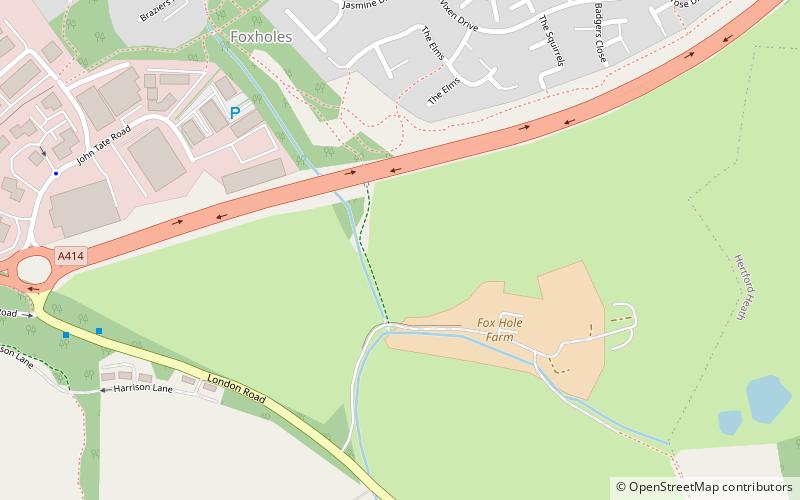
Foxholes is an eastern suburb of Hertford, Hertfordshire, England. It is situated to the north of the older Foxholes Farm, which over the years has served as the headquarters for the regional Eastern Hertfordshire Archaeological Group, which works in close collaboration with the Hertford Museum. The farm has a shop and café. ()
Coordinates: 51°47'38"N, 0°3'15"W
Address
Hertford
ContactAdd
Social media
Add
Day trips
Foxholes – popular in the area (distance from the attraction)
Nearby attractions include: Hertford Museum, All Saints' Church, The White Horse, Hartham Common.
Frequently Asked Questions (FAQ)
Which popular attractions are close to Foxholes?
Nearby attractions include Kingsmead Viaduct, Ware (24 min walk), All Saints' Church, Hertford (24 min walk).
How to get to Foxholes by public transport?
The nearest stations to Foxholes:
Bus
Train
Bus
- Fairfax Road • Lines: 10, 724 (14 min walk)
- Kings Road • Lines: 10 (15 min walk)
Train
- Hertford East (23 min walk)
- Ware (37 min walk)


