Cathcart Cemetery, Glasgow
Map
Map

Facts and practical information
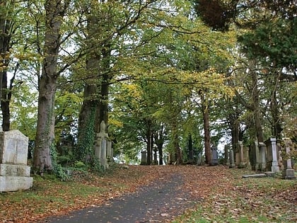
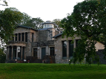
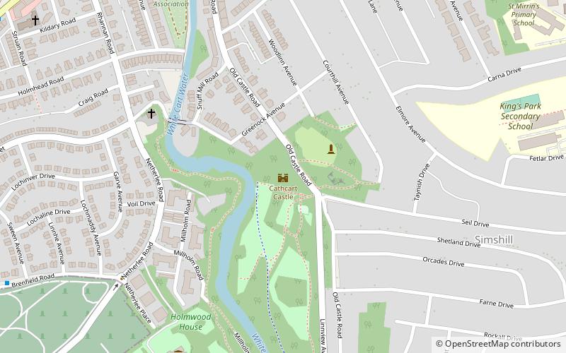
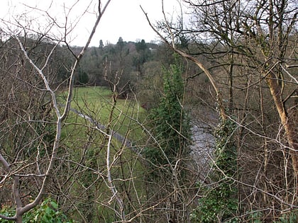
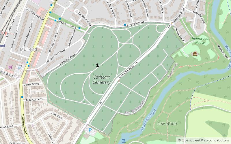
Cathcart Cemetery is a cemetery in East Renfrewshire, Scotland, which was opened in 1878. It is named after the nearby neighbourhood of Cathcart on the southern outskirts of Glasgow, but does not actually fall within the city boundaries. It is bounded to the east by the White Cart Water, with Linn Park on the opposite bank. Other surrounding residential areas to the west are Muirend and Netherlee. The grounds of Holmwood House, a mansion designed by Alexander 'Greek' Thomson, are located a short distance to the north. ()
Coordinates: 55°48'32"N, 4°15'54"W
Day trips
Cathcart Cemetery – popular in the area (distance from the attraction)
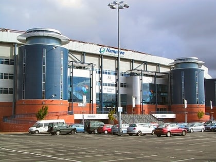
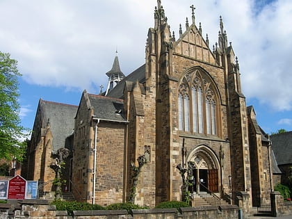
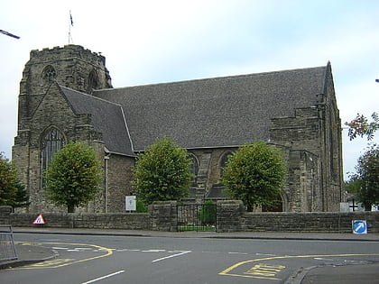
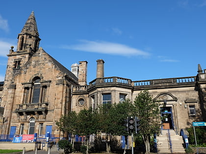
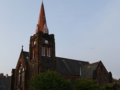
Nearby attractions include: Hampden Park, Scottish Football Museum, Cathcart Trinity Church, Cathcart Old Church.
Frequently Asked Questions (FAQ)
Which popular attractions are close to Cathcart Cemetery?
Nearby attractions include Holmwood House, Glasgow (6 min walk), Linn Park, Glasgow (10 min walk), Cathcart Castle, Glasgow (12 min walk), Cathcart Trinity Church, Glasgow (12 min walk).
How to get to Cathcart Cemetery by public transport?
The nearest stations to Cathcart Cemetery:
Train
Bus
Train
- Muirend (9 min walk)
- Cathcart (17 min walk)
Bus
- Carmunnock Road / Croftfoot Road • Lines: M2 (21 min walk)
- Croftpark Avenue / Croftburn Drive • Lines: M2 (26 min walk)
