Mansbridge, Southampton
Map

Map

Facts and practical information
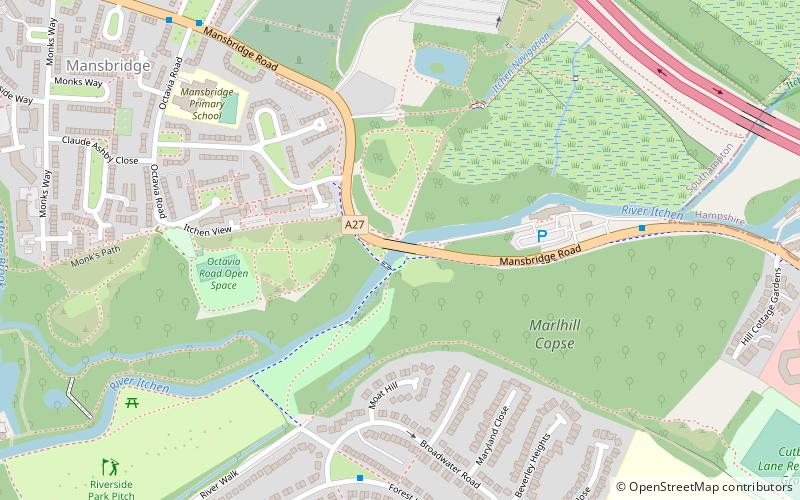
Mansbridge is a suburb on the northern perimeter of Southampton, England. The area is named after the Mans Bridge which spans the River Itchen. For a considerable time, this was the southernmost crossing point of the river, before the construction of Woodmill in Swaythling. The bridge itself still stands and is a Grade II listed structure but is closed to road traffic, having been replaced by a larger and more modern road bridge to carry the A27. ()
Coordinates: 50°56'15"N, 1°21'53"W
Address
Romsey and Southampton North (Swaythling)Southampton
ContactAdd
Social media
Add
Day trips
Mansbridge – popular in the area (distance from the attraction)
Nearby attractions include: St. Mary's Church, Cobden Bridge, St Nicolas Church, Chartwell Green.
Frequently Asked Questions (FAQ)
Which popular attractions are close to Mansbridge?
Nearby attractions include South Stoneham Cemetery, Southampton (7 min walk), Townhill Park House, Southampton (11 min walk), St. Mary's Church, Southampton (13 min walk), South Stoneham House, Southampton (14 min walk).
How to get to Mansbridge by public transport?
The nearest stations to Mansbridge:
Bus
Train
Bus
- Broadwater Road • Lines: U9 (6 min walk)
- Pinefield Road • Lines: U9 (10 min walk)
Train
- Swaythling (15 min walk)
- Southampton Airport Parkway (24 min walk)


