South Stoneham Cemetery, Southampton
Map

Map

Facts and practical information
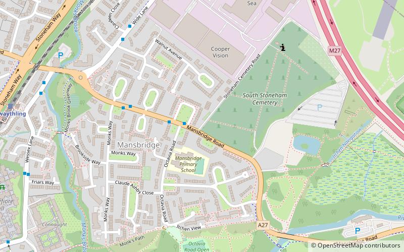
The South Stoneham municipal cemetery, situated off Mansbridge Road, Southampton, was opened in early 1905, with the first burial taking place on 4 February, and was extended in 1927. The South Stoneham Crematorium was located north of the cemetery but demolished during 1973 to make way for the construction of the M27 motorway. The South Stoneham garden of remembrance is now located at the north end of the cemetery. ()
Coordinates: 50°56'26"N, 1°22'6"W
Address
Romsey and Southampton North (Swaythling)Southampton
ContactAdd
Social media
Add
Day trips
South Stoneham Cemetery – popular in the area (distance from the attraction)
Nearby attractions include: Lakeside Country Park, The Concorde Club, Highfield Church, St. Mary's Church.
Frequently Asked Questions (FAQ)
Which popular attractions are close to South Stoneham Cemetery?
Nearby attractions include Mansbridge, Southampton (7 min walk), St. Mary's Church, Southampton (12 min walk), South Stoneham House, Southampton (12 min walk), Swaythling Baptist Church, Southampton (13 min walk).
How to get to South Stoneham Cemetery by public transport?
The nearest stations to South Stoneham Cemetery:
Bus
Train
Bus
- Walnut Avenue • Lines: U1A (6 min walk)
- Swaythling Station • Lines: U1A (8 min walk)
Train
- Swaythling (10 min walk)
- Southampton Airport Parkway (19 min walk)


