Chartwell Green, Southampton
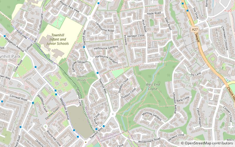
Map
Facts and practical information
Chartwell Green is a suburb of Southampton, England, although it falls outside the formal city boundary. Instead, Chartwell Green is part of the West End parish, within the Borough of Eastleigh. ()
Elevation: 125 ft a.s.l.Coordinates: 50°55'45"N, 1°21'7"W
Address
Townhill Farm Community Centre, Townhill Way, Chartwell GreenWest End SouthSouthampton
Contact
Social media
Add
Getting there by public transportation
Public transportation stops near this location
- Bus
- Train
 Bus
Bus
- Calculate routeWakefield Road 6 min walk
- Calculate routeTownhill Way 6 min walk
- Calculate routeThe Ark 7 min walk
- Calculate routeCommunity Centre 10 min walk
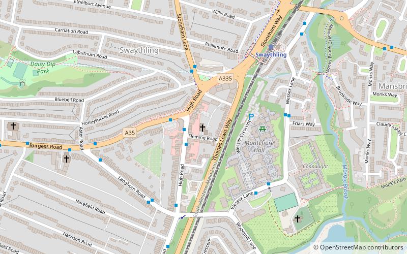
- Calculate routeBitterne 35 min walk
- Calculate routeSwaythling 35 min walk
Day trips


Frequently Asked Questions (FAQ)
Which popular attractions are close to Chartwell Green?
Nearby attractions include Townhill Park House, Southampton (10 min walk), Midanbury, Southampton (15 min walk), Mansbridge, Southampton (21 min walk).
How to get to Chartwell Green by public transport?
The nearest stations to Chartwell Green:
Bus
Train
Bus
- Wakefield Road • Lines: U9 (6 min walk)
- Townhill Way • Lines: U9 (6 min walk)
Train
- Bitterne (35 min walk)
- Swaythling (35 min walk)