Calcethorpe with Kelstern, Lincolnshire Gate
Map

Map

Facts and practical information
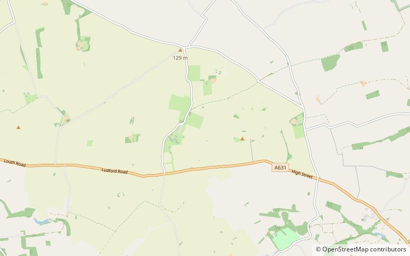
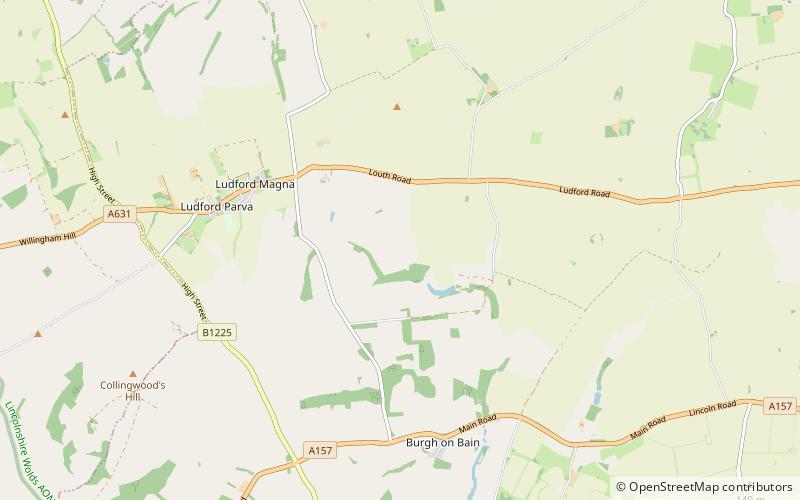
Calcethorpe with Kelstern is a civil parish in the East Lindsey district of Lincolnshire, England. It is situated west from the market town of Louth, and in the Lincolnshire Wolds, an Area of Outstanding Natural Beauty. ()
Coordinates: 53°23'38"N, 0°6'36"W
Address
Lincolnshire Gate
ContactAdd
Social media
Add
Day trips
Calcethorpe with Kelstern – popular in the area (distance from the attraction)
Nearby attractions include: St James, Louth Town Hall, Hubbards Hills, Lincolnshire Wolds Railway.


