Kirkhill Forest, Aberdeen
Map

Map

Facts and practical information
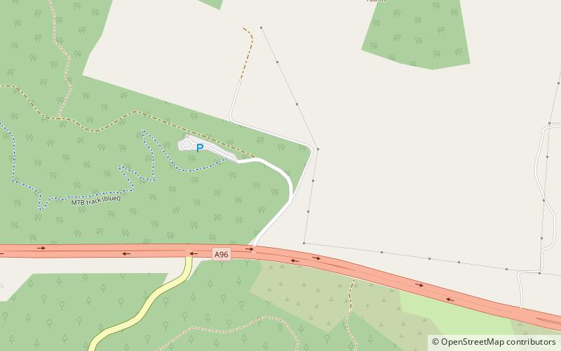
Kirkhill Forest is a forest in Scotland, situated to the north-west of Aberdeen, on the north side of the A96 between the villages of Dyce and Blackburn. Kirkhill is a working forest with a network of paths for walking, a permanent orienteering trail, and a mountain bike fun park. ()
Coordinates: 57°11'39"N, 2°14'30"W
Address
Dyce - Bucksburn - Danestone (Dyce)Aberdeen
ContactAdd
Social media
Add
Day trips
Kirkhill Forest – popular in the area (distance from the attraction)
Nearby attractions include: Stewart Park, Formartine and Buchan Way, Hazlehead Park, Hallforest Castle.


