Tyrebagger stone circle, Aberdeen
Map
Facts and practical information
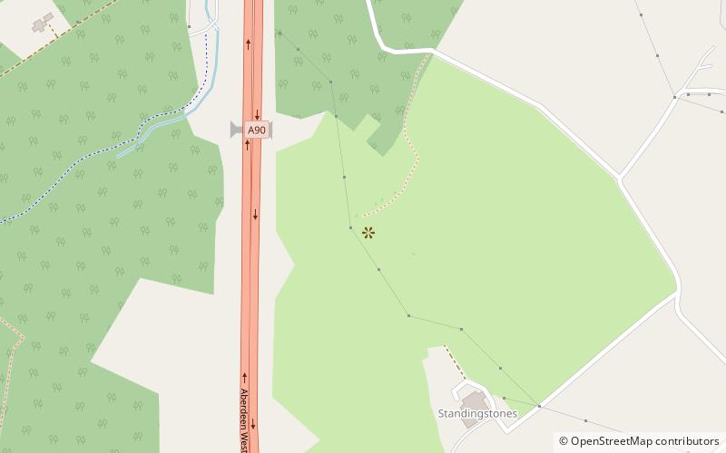
Tyrebagger stone circle is located at Dyce, near to Aberdeen in Scotland. It is a complete recumbent stone circle. It was used as a cattle pound in the past and now stands close to the Aberdeen Western Peripheral Route. It is a scheduled monument since 1925. ()
Coordinates: 57°12'34"N, 2°14'3"W
Address
Dyce - Bucksburn - Danestone (Dyce)Aberdeen
ContactAdd
Social media
Add
Getting there by public transportation
Public transportation stops near this location
- Bus
 Bus
Bus
- Calculate routeAirport Terminal 32 min walk
- Calculate routeArgyll Close 33 min walk
- Calculate routeInternational Avenue 38 min walk
Day trips


Frequently Asked Questions (FAQ)
How to get to Tyrebagger stone circle by public transport?
The nearest stations to Tyrebagger stone circle:
Bus
Bus
- Airport Terminal • Lines: 727 (32 min walk)
- Argyll Close • Lines: 727 (33 min walk)