Brimmond Hill, Aberdeen
#100 among attractions in Aberdeen


Facts and practical information
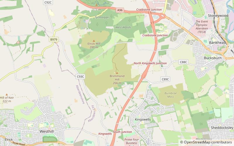
Brimmond Hill is a hill in Aberdeen, Scotland. The summit is the highest point within the Aberdeen City council area, at an elevation of 266 m. ()
Dyce - Bucksburn - Danestone (Newhills)Aberdeen United Kingdom
Brimmond Hill – popular in the area (distance from the attraction)
Nearby attractions include: Stewart Park, Formartine and Buchan Way, Hazlehead Park, Deeside Way.
 Park
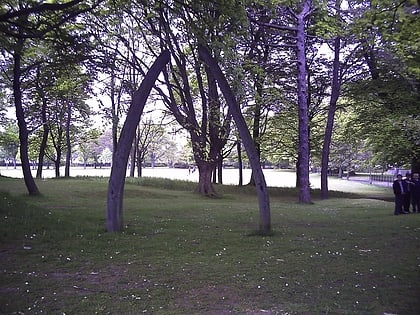
ParkStewart Park, Aberdeen
100 min walk • Stewart Park, a serene oasis in the bustling city of Aberdeen, United Kingdom, offers residents and visitors alike a verdant escape from urban life. This tranquil park is a perfect place for leisurely strolls, family picnics, and outdoor sports, making it a cherished...
 Hiking, Hiking trail
Formartine and Buchan Way, Aberdeen
74 min walk • The Formartine and Buchan Way is a serene hiking trail nestled in the scenic landscape near Aberdeen, United Kingdom. This former railway line has been repurposed into a peaceful walking and cycling path that stretches for 53 miles, connecting the towns of Dyce...
 Park
ParkHazlehead Park, Aberdeen
82 min walk • Hazlehead Park is a public park in the Hazlehead area of Aberdeen, Scotland. 180 hectares in size, it was opened to the public in 1920, having formerly been the estate of Hazlehead House, home of William Rose, shipbuilder.
 Hiking, Hiking trail
Deeside Way, Aberdeen
120 min walk • The Deeside Way is a 41-mile rail trail that follows, in part, the bed of the former Deeside Railway in Aberdeenshire. Forming part of the National Cycle Network the trail leads from Aberdeen to Ballater.
 Memorial
Tyrebagger stone circle, Aberdeen
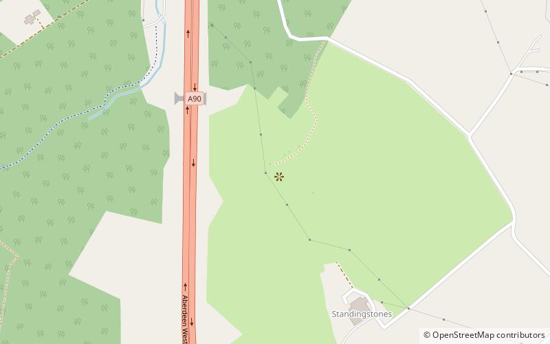
66 min walk • Tyrebagger stone circle is located at Dyce, near to Aberdeen in Scotland. It is a complete recumbent stone circle. It was used as a cattle pound in the past and now stands close to the Aberdeen Western Peripheral Route.
 Park, Playground, Tennis court
Westburn Park, Aberdeen
115 min walk • Westburn Park is a public park located in Aberdeen, Scotland. It is owned by Aberdeen City Council and is one of the largest parks in the city, with an area of 10 hectares. It does not have flowerbeds or gardens and is mainly grass with some trees.
 Park
ParkGreen spaces and walkways in Aberdeen, Aberdeen
83 min walk • The Scottish city of Aberdeen has a number of green spaces and walkways. The parks, gardens and floral displays which include 2 million roses, 11 million daffodils and 3 million crocuses have led the city to win the Royal Horticultural Society's Britain in Bloom Best City award many times, including a period of nine years straight.
 Forts and castles
Barra Castle, Aberdeen
48 min walk • Barra Castle is an unusual L-plan tower house dating from the early 16th century, about two miles south of Oldmeldrum, above the Lochter Burn, in the parish of Bourtie, Aberdeenshire, Scotland.
 Nature, Natural attraction, Forest
Kirkhill Forest, Aberdeen
39 min walk • Kirkhill Forest is a forest in Scotland, situated to the north-west of Aberdeen, on the north side of the A96 between the villages of Dyce and Blackburn.
 Neighbourhood
Foresterhill, Aberdeen
103 min walk • Foresterhill is an area in the city of Aberdeen, Scotland. It is the site of the city's main hospitals, as well as the medical school and medical science departments of the University of Aberdeen. It is the largest hospital complex in Europe.
 Area
AreaWoodside, Aberdeen
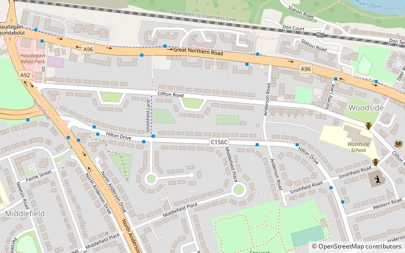
97 min walk • Woodside is part of the city of Aberdeen. It came into existence as a quoad sacra parish within the parish of Old Machar in 1834, under an act of The General Assembly of the Church of Scotland of 31 May 1834, and was named for the principal residence of the area, Woodside House.
