Stafford Road F.C., Wolverhampton
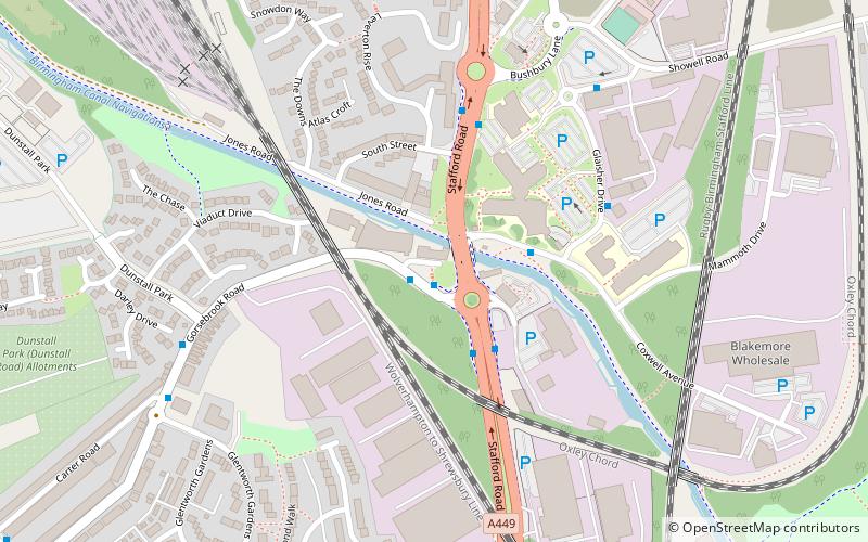
Map
Facts and practical information
Stafford Road were an English association football club founded in 1876, that are now defunct. The club was connected to the Stafford Road railway works in Wolverhampton, then-Staffordshire. ()
Founded: 1867 (159 years ago)Coordinates: 52°36'8"N, 2°7'51"W
Address
St. Peter'sWolverhampton
ContactAdd
Social media
Add
Getting there by public transportation
Public transportation stops near this location
- Bus
- Train
 Bus
Bus
- Calculate routeGorsebrook Rd / Stafford Rd 1 min walk
- Calculate routeStafford Rd / Gorsebrook Rd 2 min walk
- Calculate routeStafford Rd / Bushbury Lane 4 min walk
- Calculate routeWolverhampton 28 min walk
Day trips


Frequently Asked Questions (FAQ)
Which popular attractions are close to Stafford Road F.C.?
Nearby attractions include Christ Church, Wolverhampton (11 min walk), Whitmore Reans, Wolverhampton (16 min walk), Aldersley Junction, Wolverhampton (18 min walk), St Andrew's Church, Wolverhampton (20 min walk).
How to get to Stafford Road F.C. by public transport?
The nearest stations to Stafford Road F.C.:
Bus
Train
Bus
- Gorsebrook Rd / Stafford Rd • Lines: 62, 62A (1 min walk)
- Stafford Rd / Gorsebrook Rd • Lines: 3, 32, 33, 4, 62, 62A, 67, 794, 877, 878 (2 min walk)
Train
- Wolverhampton (28 min walk)