Axe Edge Moor, Peak District
#129 among attractions in Peak District


Facts and practical information
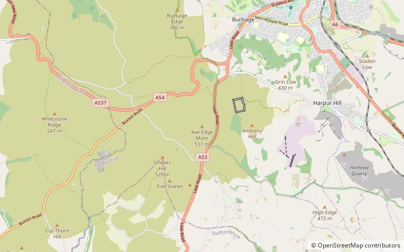
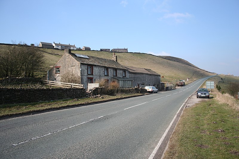
Axe Edge Moor is the major moorland southwest of Buxton in the Peak District. It is mainly gritstone. Its highest point is at grid reference SK035706. This is slightly lower than Shining Tor. ()
Peak District United Kingdom
Axe Edge Moor – popular in the area (distance from the attraction)
Nearby attractions include: Buxton Opera House, Poole's Cavern, The Slopes, Corbar Hill.
 Opera, Concerts and shows, Music venue
Buxton Opera House, Buxton
57 min walk • Buxton Opera House is in The Square, Buxton, Derbyshire, England. It is a 902-seat opera house that hosts the annual Buxton Festival and, from 1994 to 2013, the International Gilbert and Sullivan Festival, among others, as well as pantomime at Christmas, musicals and other entertainments year-round.
 Natural attraction, National park, Park
Poole's Cavern, Buxton
40 min walk • Poole's Cavern or Poole's Hole is a two-million-year-old natural limestone cave on the edge of Buxton in the Peak District, in the county of Derbyshire, England. Pooles Cavern forms part of the Wye system, and has been designated a Site of Special Scientific Interest.
 Park
ParkThe Slopes, Buxton
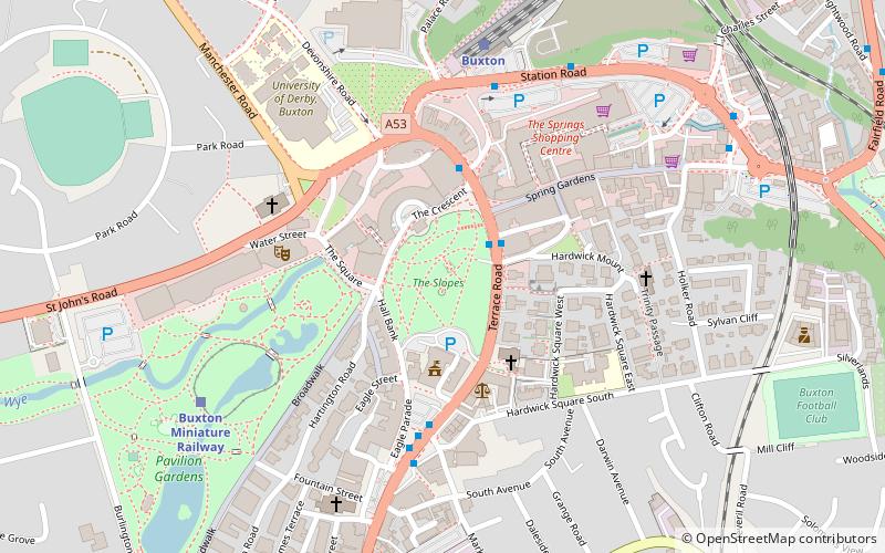
59 min walk • The Slopes is a Grade-II-listed public park in Buxton, Derbyshire in England. The area was laid out by landscape architect Jeffry Wyatville in 1811 for William Cavendish, 6th Duke of Devonshire, as pleasure grounds for the guests of The Crescent hotel to promenade.
 Mountain
Corbar Hill, Buxton
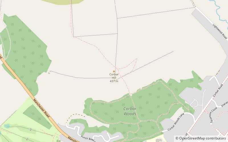
64 min walk • Corbar Hill is a sandstone hill at the south end of Combs Moss, overlooking Buxton in Derbyshire, in the Peak District. The summit is 437 metres above sea level.
 Nature, Natural attraction, Mountain
Chrome Hill, Peak District
77 min walk • Chrome Hill is a limestone reef knoll in Derbyshire, England, in the upper Dove valley beside the border with Staffordshire. It is adjacent to Parkhouse Hill, another reef knoll. Chrome Hill was declared open access land under the provisions of the Countryside and Rights of Way Act 2000.
 Mountain
High Edge, Peak District
53 min walk • High Edge is a limestone hill overlooking Harpur Hill, Buxton in Derbyshire, in the Peak District. The summit is 472 metres above sea level. The lower hilltop is marked by a cairn. Following the Countryside and Rights of Way Act 2000, this hilltop area became "Open Access" land for the public.
 Hot springs
St Ann's Well, Buxton
59 min walk • St Ann's Well is an ancient warm natural spring in Buxton, Derbyshire in England. The drinking well is located at the foot of The Slopes and opposite the Crescent hotel and the Old Hall Hotel.
 Mountain
Burbage Edge, Peak District
43 min walk • Burbage Edge is a gritstone escarpment overlooking the Burbage district of Buxton in Derbyshire, in the Peak District. The hill's summit is 500 metres above sea level. Not to be confused with the Burbage Rocks extension of Stanage Edge near Hathersage.
 History museum, Museum, Natural history museum
Buxton Museum and Art Gallery, Buxton
58 min walk • Buxton Museum and Art Gallery focuses its collection on history, geology and archaeology primarily from the Peak District and Derbyshire. The museum is located at Terrace Road, Buxton, England. The museum opens Tuesday to Saturday all year round and from Easter to the end of September is also open on Sunday and Bank Holiday afternoons.
 Nature, Natural attraction, Mountain
Oliver Hill, Peak District
50 min walk • Oliver Hill is a hill, 513 metres high, in the Peak District in the county of Staffordshire in England. It is a treeless summit surrounded by farmland in the southern part of the Peak District about 6 kilometres south-southwest of the town of Buxton.

