Shining Tor, Peak District
Map

Map

Facts and practical information
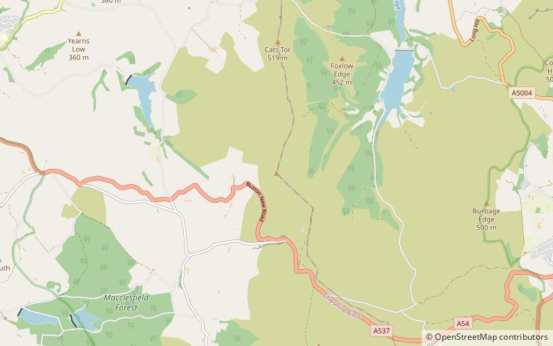
Shining Tor is the highest hill in the modern ceremonial county of Cheshire, England. The summit has a maximum elevation of 559 m above sea level. It is in the Peak District, between the towns of Buxton and Macclesfield, and is on the administrative boundary between Derbyshire and Cheshire East. The hill is at the south end of a north-south moorland ridge, which also includes Cats Tor, 519 metres high. ()
Elevation: 1834 ftProminence: 774 ftCoordinates: 53°15'39"N, 2°0'34"W
Address
Peak District
ContactAdd
Social media
Add
Day trips
Shining Tor – popular in the area (distance from the attraction)
Nearby attractions include: Tegg's Nose, Cats Tor, Shutlingsloe, Errwood Reservoir.


