Brading Marshes to St. Helen's Ledges SSSI, Brading Marshes RSPB reserve
Map
Facts and practical information
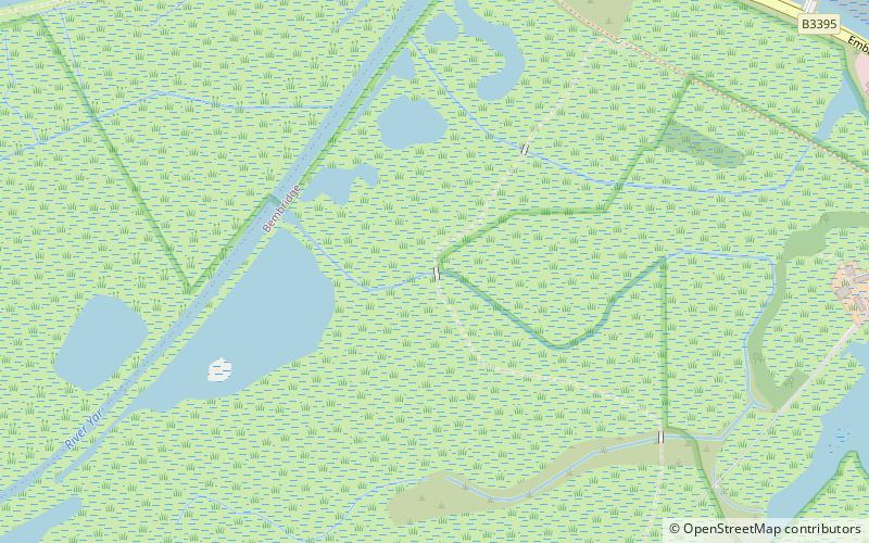
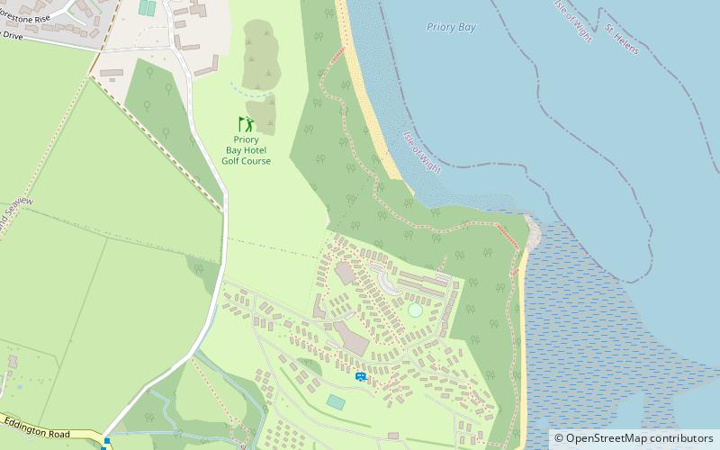
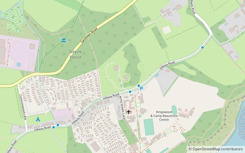
Brading Marshes to St. Helen's Ledges is a 488.5 hectare Site of special scientific interest which stretches from Brading along the Yar valley between Bembridge and St Helens, Isle of Wight through to the sea at Priory Bay on the north east coast of the Isle of Wight. It encompasses the Brading Marshes RSPB reserve, Bembridge harbour and the inter tidal sand, mud flats and rocky ledges exposed off the coast at low water, including the land around St Helens Fort which is not attached to the mainland. It is the second largest SSSI on the Isle of Wight. The site was notified in 1951 for both its biological and geological features. ()
Coordinates: 50°41'20"N, 1°6'36"W
Address
Brading Marshes RSPB reserve
ContactAdd
Social media
Add
Day trips


Frequently Asked Questions (FAQ)
Which popular attractions are close to Brading Marshes to St. Helen's Ledges SSSI?
Nearby attractions include Bembridge Harbour, Brading Marshes RSPB reserve (14 min walk), BMS Bembridge Motor Services, Bembridge (19 min walk), Bembridge Windmill, Bembridge (19 min walk), Holy Trinity Church, Bembridge (22 min walk).