Winchelsea Cutting, Rye

Gallery (1)
Map
Map
Facts and practical information
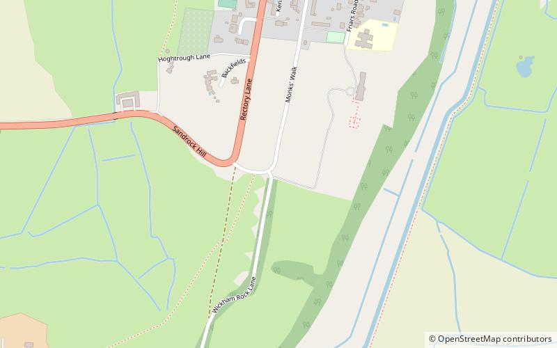
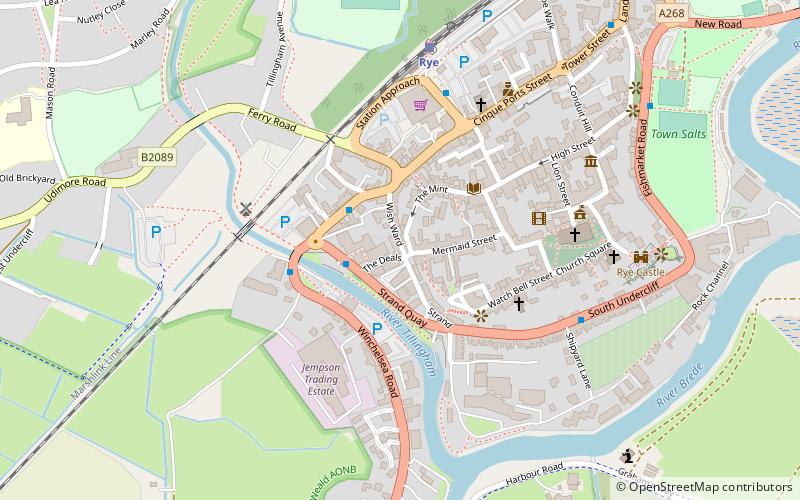
Winchelsea Cutting is a 0.15-hectare geological Site of Special Scientific Interest on the southern outskirts of Winchelsea in East Sussex. It is a Geological Conservation Review site. ()
Coordinates: 50°55'12"N, 0°42'25"E
Address
Rye
ContactAdd
Social media
Add
Getting there by public transportation
Public transportation stops near this location
- Train
 Train
Train
- Calculate routeWinchelsea 25 min walk
Day trips


Frequently Asked Questions (FAQ)
How to get to Winchelsea Cutting by public transport?
The nearest stations to Winchelsea Cutting:
Train
Train
- Winchelsea (25 min walk)