Anchor Church

Gallery (2)
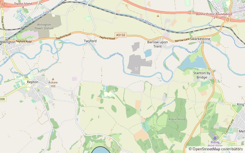
Map
Map
Gallery
Facts and practical information
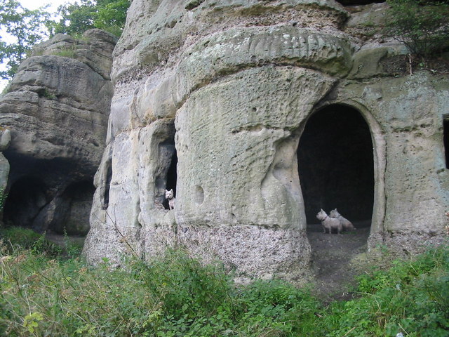
Anchor Church is the name given to a series of caves in a Keuper Sandstone outcrop, close to the village of Ingleby, Derbyshire, England. The caves have been extended by human intervention to form a crude dwelling place, complete with door and window holes. ()
Coordinates: 52°50'29"N, 1°29'54"W
Location
England
ContactAdd
Social media
Add
Day trips


