Swarkestone Hall Pavilion

Gallery (1)
Map
Map
Facts and practical information
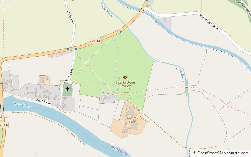
Swarkestone Hall Pavilion, also known as Swarkestone Stand and The Grandstand, is a 17th-century pavilion 200 metres north of the ruins of Swarkestone Hall, Swarkestone, Derbyshire. It is a Grade I listed building south of Chellaston on the A514. ()
Elevation: 125 ft a.s.l.Coordinates: 52°51'14"N, 1°26'42"W
Day trips