St Wilfrid's Church
Map
![St Wilfrid's Church location map](https://tzmedia.b-cdn.net/media/images/static-maps/gb/52_8519_-1_47725.jpg)
Map
![St Wilfrid's Church location map](https://tzmedia.b-cdn.net/media/images/static-maps/gb/52_8519_-1_47725.jpg)
Facts and practical information
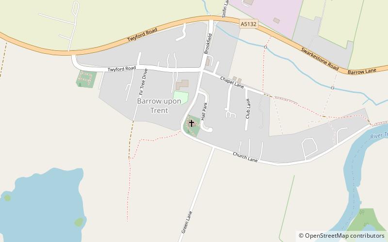
St Wilfrid’s Church, Barrow upon Trent is a Grade I listed parish church in the Church of England in Barrow upon Trent, Derbyshire. ()
Coordinates: 52°51'7"N, 1°28'38"W
Day trips
St Wilfrid's Church – popular in the area (distance from the attraction)
Nearby attractions include: Anchor Church, Swarkestone Bridge, St James' Church, Swarkestone, Barrow Camera.