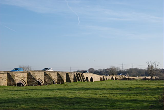
Swarkestone Bridge

Gallery (4)
Map

Map
Gallery
Facts and practical information
Swarkestone Bridge is a medieval bridge crossing the River Trent between the villages of Swarkestone and Stanton by Bridge, about 6 miles south of Derby. It is currently Grade I Listed and a scheduled monument. ()
Built: 1204 (822 years ago)Coordinates: 52°50'45"N, 1°27'4"W
Location
Swarkestone CauswayDerbyshire DE73 7JA England
ContactAdd
Social media
Add
Day trips


