Baughurst
#4826 among destinations in the United Kingdom


Facts and practical information
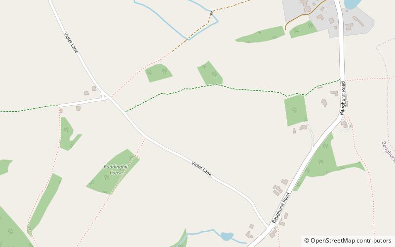
Baughurst is a village and civil parish in Hampshire, England. It is located west of the town of Tadley, 6 miles north of Basingstoke. In the 2001 census it had a population of 2,473. ()
Baughurst – popular in the area (distance from the attraction)
Nearby attractions include: The Vyne, Aldermaston Lock, Woolhampton Lock, Calleva Atrebatum.
 Tudor home with a lake and walled gardens
The Vyne, Tadley
107 min walk • The Vyne is a 16th-century estate and country house outside Sherborne St John near Basingstoke in Hampshire, England. It is a Grade I listed building.
 Canal, Canal lock
Aldermaston Lock
112 min walk • Nestled within the picturesque landscape of Berkshire, Aldermaston Lock stands as a tranquil testament to Britain's rich canal heritage. This charming lock is a key feature on the Kennet and Avon Canal, which stretches from the River Thames at Reading to the River Avon...
 Canal
CanalWoolhampton Lock
98 min walk • Woolhampton Lock is a lock on the Kennet and Avon Canal, in the village of Woolhampton in the English county of Berkshire. The lock has a rise/fall of 8 feet 11 inches and is administered by the Canal and River Trust.
 Archaeological site, Historical place
Calleva Atrebatum, Basingstoke
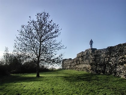
96 min walk • Calleva Atrebatum was an Iron Age settlement, as capital of the Atrebates tribe. It then became a walled town in the Roman province of Britannia at a major crossroads in the Roman roads of Britain.
 Park
ParkAldermaston Court
75 min walk • Aldermaston Court is a country house and private park built in the Victorian era for Daniel Higford Davall Burr with incorporations from a Stuart house. It is south-east of the village nucleus of Aldermaston in the English county of Berkshire.
 Canal
CanalPadworth Lock
115 min walk • Padworth Lock is a lock on the Kennet and Avon Canal, at Aldermaston Wharf in the civil parish of Padworth in the English county of Berkshire.
 Park
ParkPaices Wood
56 min walk • Paices Wood Country Parkland is a country park on the edge of the village of Aldermaston in Berkshire, England. The parkland is under the management of the Berkshire, Buckinghamshire and Oxfordshire Wildlife Trust.
 Canal
CanalColthrop Lock
114 min walk • Colthrop Lock is a lock on the Kennet and Avon Canal, at Thatcham, Berkshire, England. Colthrop Lock was built between 1718 and 1723 under the supervision of the engineer John Hore of Newbury. The canal is administered by the Canal & River Trust. The lock has a rise/fall of 7 ft 7 in.
 Canal
CanalHeale's Lock
98 min walk • Heale's Lock is a lock on the Kennet and Avon Canal, between Thatcham and Woolhampton, Berkshire, England. Heale's Lock was built between 1718 and 1723 under the supervision of the engineer John Hore of Newbury.
 Forts and castles
The Frith
85 min walk • The Frith is a small univallate Iron Age hillfort to the north of Silchester, Calleva Atrebatum, Roman town in the English county of Hampshire.
 Church
Church of St Mary the Virgin
77 min walk • The Church of St Mary the Virgin, Aldermaston, is the Church of England parish church of Aldermaston in Berkshire. The church, which is dedicated to St Mary, dates from the mid-12th century and has examples of Norman and Jacobean architecture.
