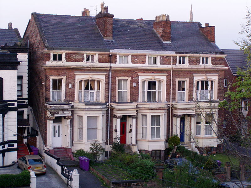
Kensington, Liverpool
Map

Gallery

Facts and practical information
Kensington is an inner city area of Liverpool, England, immediately to the east of the city centre, bordered by Everton to the north, Fairfield to the east and Edge Hill to the south. ()
Elevation: 223 ft a.s.l.Coordinates: 53°24'42"N, 2°57'9"W
Address
Kensington and FairfieldLiverpool
ContactAdd
Social media
Add
Day trips
Kensington – popular in the area (distance from the attraction)
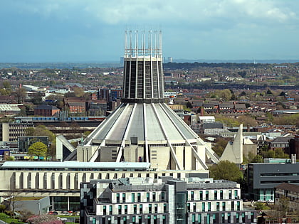
Nearby attractions include: Liverpool Metropolitan Cathedral, Victoria Gallery & Museum, Williamson Tunnels, Everyman Theatre.
Frequently Asked Questions (FAQ)
Which popular attractions are close to Kensington?
Nearby attractions include Liverpool Muslim Institute, Liverpool (9 min walk), Sacred Heart Church, Liverpool (11 min walk), Grant Gardens, Liverpool (13 min walk), Wavertree Botanic Gardens, Liverpool (15 min walk).
How to get to Kensington by public transport?
The nearest stations to Kensington:
Bus
Train
Bus
- West Derby Rd/Farnworth St • Lines: 18 (9 min walk)
- Prescot Street/Royal Hospital • Lines: 18 (12 min walk)
Train
- Edge Hill (18 min walk)
- Liverpool Lime Street (28 min walk)


