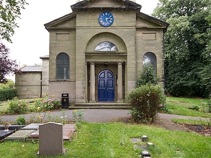
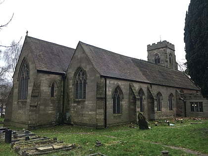
St Bartholomew's Church, Coventry
Map
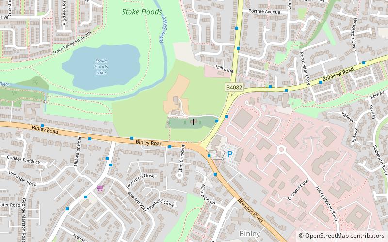
Map

Facts and practical information
The Church of St Bartholomew is a church on Brinklow Road in Binley, in the City of Coventry in the West Midlands of England. The building is grade I listed, though churches in ecclesiastical use are exempt from listed building procedures. The church was built between 1771 and 1773 for the Earl of Craven of nearby Coombe Abbey. ()
Completed: 1771 (255 years ago)Coordinates: 52°24'12"N, 1°26'49"W
Address
South Coventry (Wyken)Coventry
ContactAdd
Social media
Add
Day trips
St Bartholomew's Church – popular in the area (distance from the attraction)
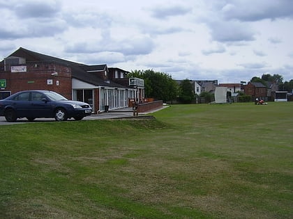
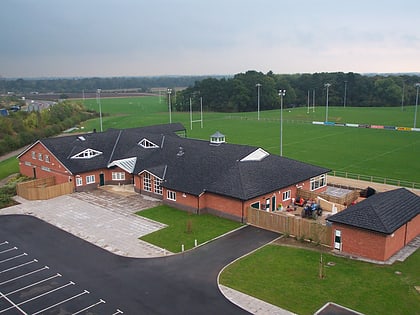
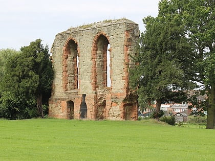
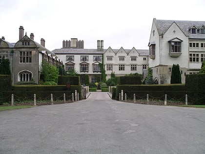
Nearby attractions include: Bulls Head Ground, Ivor Preece Field, Stoke St Michael's Church, Caludon Castle.
Frequently Asked Questions (FAQ)
How to get to St Bartholomew's Church by public transport?
The nearest stations to St Bartholomew's Church:
Bus
Bus
- Brinklow Rd / Binley Church • Lines: 60 (2 min walk)
- Binley Rd / Ebro Crescent • Lines: 13, 13A, 3, 86 (2 min walk)
