Sussex County Cricket Ground, Brighton
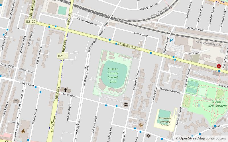
Map
Facts and practical information
Brighton and Hove Cricket Club, nicknamed The Mighty Bensons, is an amateur cricket club based in East Sussex, in southern England. Their top team secured the Sussex Cricket League championship in 2000 and in 2007. Based since 1991 at the Nevill Sports Ground in Hove, southern England, the club achieved success in 1979 when it won both the first and second eleven competitions in the Sussex League, while playing at Horsdean. ()
Elevation: 85 ft a.s.l.Coordinates: 50°49'52"N, 0°9'49"W
Address
WilburyBrighton
ContactAdd
Social media
Add
Getting there by public transportation
Public transportation stops near this location
- Bus
- Train
 Bus
Bus
- Calculate routeWilbury Villas 3 min walk
- Calculate routeCricket Ground 3 min walk
- Calculate routeHolland Road 4 min walk
- Calculate routeHove 11 min walk
- Calculate routeAldrington 23 min walk
- Calculate routeBrighton 26 min walk
- Calculate routePreston Park 28 min walk
Day trips
Sussex County Cricket Ground – popular in the area (distance from the attraction)
Nearby attractions include: Adelaide Crescent, Palmeira Square, Montpelier Place Baptist Church, Booth Museum of Natural History.


Frequently Asked Questions (FAQ)
Which popular attractions are close to Sussex County Cricket Ground?
Nearby attractions include Brighton and Hove Reform Synagogue, Brighton (3 min walk), All Saints Church, Brighton (5 min walk), Palmeira Square, Brighton (8 min walk), Holland Road Baptist Church, Brighton (8 min walk).
How to get to Sussex County Cricket Ground by public transport?
The nearest stations to Sussex County Cricket Ground:
Bus
Train
Bus
- Wilbury Villas • Lines: 7, N7 (3 min walk)
- Cricket Ground • Lines: 21A (3 min walk)
Train
- Hove (11 min walk)
- Aldrington (23 min walk)