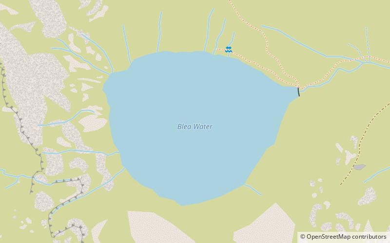
Blea Water
Map

Map

Facts and practical information
Blea Water is a tarn or corrie lake which occupies a glacially excavated hollow immediately to the east of High Street in the Lake District, England. At just over 200 feet deep, it is the deepest tarn in the Lake District. ()
Maximum depth: 206 ftElevation: 1598 ft a.s.l.Coordinates: 54°29'21"N, 2°51'9"W
Location
England
ContactAdd
Social media
Add
Day trips
Blea Water – popular in the area (distance from the attraction)
Nearby attractions include: High Street, Harter Fell, Hayeswater, Thornthwaite Crag.


