High Street
Map

Map

Facts and practical information
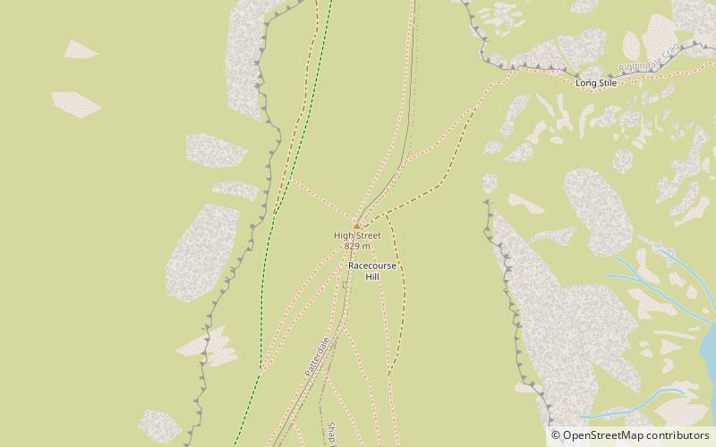
High Street is a fell in the English Lake District. At 828 metres, its summit is the highest point in the far eastern part of the national park. The fell is named after the possible Roman road which ran over the summit. ()
Day trips
High Street – popular in the area (distance from the attraction)
Nearby attractions include: Blea Water, Harter Fell, Hayeswater, Thornthwaite Crag.


