Harter Fell

Gallery (1)
Map
Map
Facts and practical information
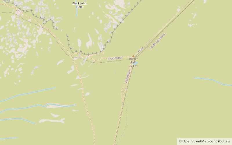
Harter Fell is a fell in the far eastern part of the English Lake District. The summit at lies the meeting point of three ridges, and Harter Fell forms the head of three valleys: Mardale, Longsleddale and the valley of the River Kent. ()
Location
England
ContactAdd
Social media
Add
Day trips


