Purdown, Bristol
Map

Map

Facts and practical information
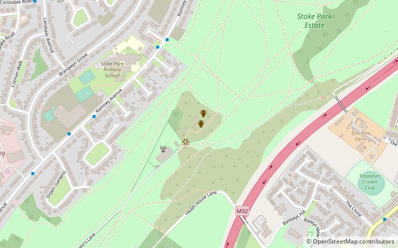
Purdown is a hill in the north east of Bristol, England. The suburb of Lockleaze lies on its western flanks, and the Stoke Park estate occupies its eastern flanks. The M32 motorway crosses the eastern side of the hill. ()
Coordinates: 51°29'9"N, 2°33'40"W
Day trips
Purdown – popular in the area (distance from the attraction)
Nearby attractions include: Memorial Stadium, Stoke Park, Eastville Park, St Werburgh's Church.
Frequently Asked Questions (FAQ)
Which popular attractions are close to Purdown?
Nearby attractions include Purdown BT Tower, Bristol (3 min walk), Stoke Park, Bristol (9 min walk), Stapleton, Bristol (11 min walk), Church of Holy Trinity, Bristol (11 min walk).
How to get to Purdown by public transport?
The nearest stations to Purdown:
Bus
Bus
- Stapleton Church • Lines: Y4 (10 min walk)
- The Chine • Lines: Y4 (11 min walk)


