Stoke Park, Bristol
Map

Gallery

Facts and practical information
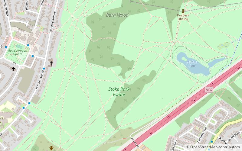
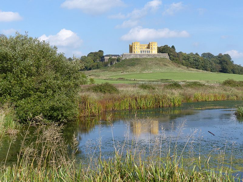
Stoke Park is a public open space of 108 hectares in Bristol, England. It occupies a prominent position on the eastern flanks of Purdown, alongside the M32 motorway, together with the landmark Dower House and Purdown transmitter. Approximately 80% of the park is within the Bristol ward of Lockleaze, the remainder within South Gloucestershire. ()
Elevation: 223 ft a.s.l.Coordinates: 51°29'22"N, 2°33'22"W
Address
LockleazeBristol
ContactAdd
Social media
Add
Day trips
Stoke Park – popular in the area (distance from the attraction)
Nearby attractions include: Memorial Stadium, Oldbury Court Estate, Eastville Park, St Werburgh's Church.
Frequently Asked Questions (FAQ)
Which popular attractions are close to Stoke Park?
Nearby attractions include Purdown, Bristol (9 min walk), Purdown BT Tower, Bristol (11 min walk), Stapleton, Bristol (15 min walk), Church of Holy Trinity, Bristol (17 min walk).
How to get to Stoke Park by public transport?
The nearest stations to Stoke Park:
Bus
Train
Bus
- Brinkworthy Road • Lines: Y4 (9 min walk)
- The Chine • Lines: Y4 (11 min walk)
Train
- Filton Abbey Wood (27 min walk)


