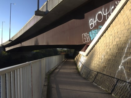
Auchenshuggle Bridge, Glasgow
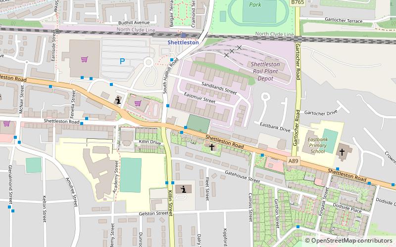
Map
Map

Facts and practical information
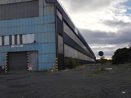
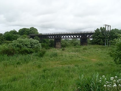
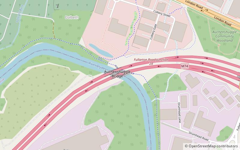
Auchenshuggle Bridge is a road bridge spanning the River Clyde in Glasgow, Scotland. The Auchenshuggle Bridge is the latest bridge to be built over the Clyde in the Auchenshuggle district of Glasgow, carrying the M74 motorway over the river and onto land which is part of Clydebridge Steelworks in Rutherglen, en route to the M8 junction near the heavily congested Kingston Bridge. ()
Coordinates: 55°50'9"N, 4°10'52"W
Address
BraidfauldGlasgow
ContactAdd
Social media
Add
Day trips
Auchenshuggle Bridge – popular in the area (distance from the attraction)
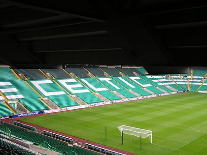
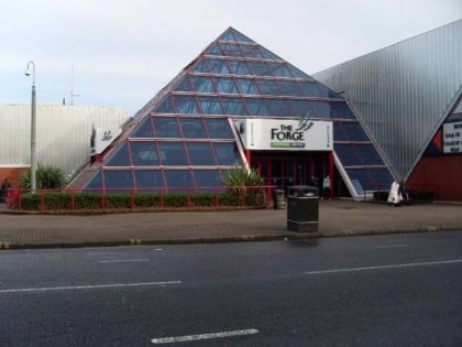
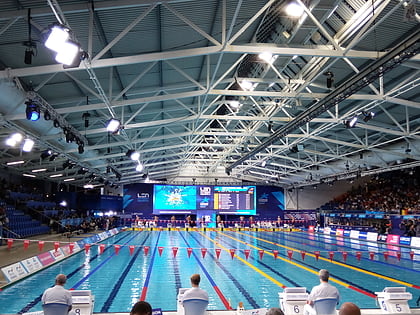
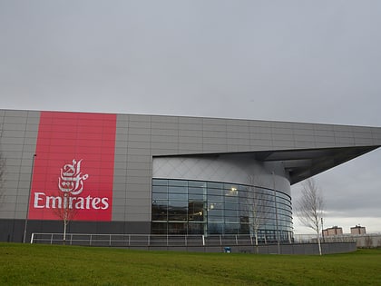
Nearby attractions include: Celtic Park, The Forge Shopping Centre, Tollcross International Swimming Centre, Sir Chris Hoy Velodrome.
Frequently Asked Questions (FAQ)
Which popular attractions are close to Auchenshuggle Bridge?
Nearby attractions include Clydebridge Steelworks, Glasgow (8 min walk), Braidfauld, Glasgow (10 min walk), Auchenshuggle, Glasgow (14 min walk), Tollcross, Glasgow (17 min walk).
How to get to Auchenshuggle Bridge by public transport?
The nearest stations to Auchenshuggle Bridge:
Bus
Train
Bus
- Tollcross, Tollcross Road/ Wellshot Road • Lines: 61 (15 min walk)
Train
- Carmyle (24 min walk)
- Cambuslang (31 min walk)
