Cuningar Loop, Glasgow

Gallery (2)
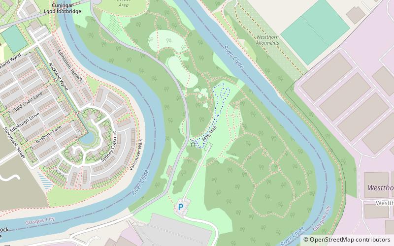
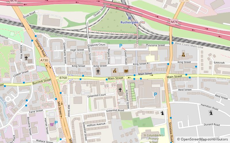
Map
Map
Gallery
Facts and practical information
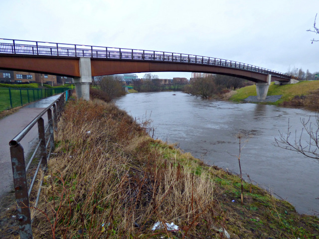
The Cuningar Loop is a meander on the River Clyde in Scotland which was converted to a woodland park in the mid-2010s. It lies within the territory of Rutherglen, South Lanarkshire, directly east of the district of Dalmarnock in Glasgow. ()
Elevation: 36 ft a.s.l.Coordinates: 55°50'24"N, 4°12'2"W
Address
Downiebrae RoadGlasgow
ContactAdd
Social media
Add
Getting there by public transportation
Public transportation stops near this location
- Bus
- Train
 Bus
Bus
- Calculate routeDalmarnock 18 min walk
- Calculate routeRutherglen 21 min walk
- Calculate routeBridgeton 29 min walk
- Calculate routeCarntyne 34 min walk
- Calculate routeParkhead, Tollcross Road/ Crail Street 19 min walk
- Calculate routeTollcross, Tollcross Road/ Muiryfauld Drive 20 min walk
Day trips


Frequently Asked Questions (FAQ)
Which popular attractions are close to Cuningar Loop?
Nearby attractions include Farme Castle, Glasgow (10 min walk), Dalmarnock, Glasgow (12 min walk), Clydebridge Steelworks, Glasgow (21 min walk), Auchenshuggle Bridge, Glasgow (21 min walk).
How to get to Cuningar Loop by public transport?
The nearest stations to Cuningar Loop:
Train
Bus
Train
- Dalmarnock (18 min walk)
- Rutherglen (21 min walk)
Bus
- Parkhead, Tollcross Road/ Crail Street • Lines: 61 (19 min walk)
- Tollcross, Tollcross Road/ Muiryfauld Drive • Lines: 61 (20 min walk)