Bray, Maidenhead

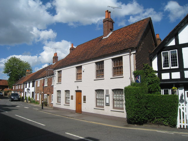
Gallery (3)
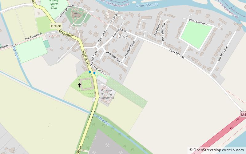
Map
Map
Gallery
Facts and practical information
Bray, occasionally Bray on Thames, is a large suburban village and civil parish in the English county of Berkshire. It sits on the banks of the River Thames, to the southeast of Maidenhead of which it is a suburb. The village is mentioned in the comedic song "The Vicar of Bray". Bray contains two of the eight three-Michelin-starred restaurants in the United Kingdom and has several large business premises including Bray Studios at Water Oakley, where the first series of Hammer Horror films were produced. ()
Address
Maidenhead
ContactAdd
Social media
Add
Getting there by public transportation
Public transportation stops near this location
- Bus
- Train
 Bus
Bus
- Calculate routeOld Marsh Lane 21 min walk
- Calculate routeYe Meads 24 min walk
- Calculate routeHarcourt Road 26 min walk
- Calculate routeMaidenhead 34 min walk
- Calculate routeTaplow 36 min walk
Day trips


Frequently Asked Questions (FAQ)
Which popular attractions are close to Bray?
Nearby attractions include St Michael's Church, Maidenhead (6 min walk), Bray Pit, Maidenhead (11 min walk), M4 Thames Bridge, Maidenhead (15 min walk), Bray Lake Watersports, Maidenhead (16 min walk).
How to get to Bray by public transport?
The nearest stations to Bray:
Bus
Train
Bus
- Old Marsh Lane • Lines: 63, 68 (21 min walk)
- Ye Meads • Lines: 63, 68 (24 min walk)
Train
- Maidenhead (34 min walk)
- Taplow (36 min walk)