Maidenhead Railway Bridge, Maidenhead
Map

Gallery

Facts and practical information
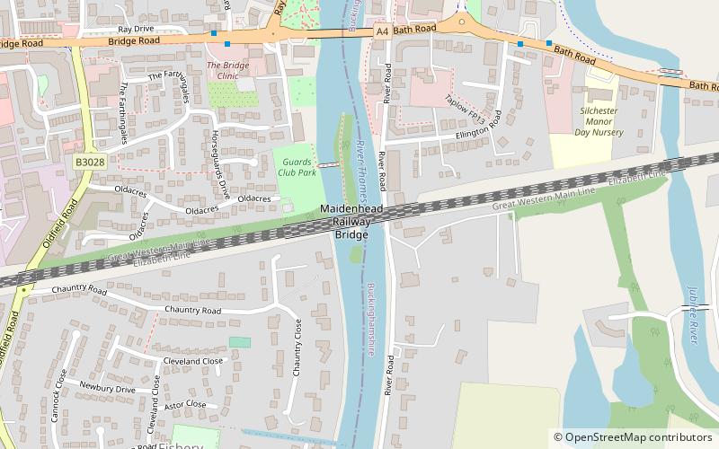
Maidenhead Railway Bridge is a single structure of two tall wide red brick arches buttressed by two over-land smaller arches carrying the Great Western Main Line over the River Thames between Maidenhead, Berkshire and Taplow, Buckinghamshire, England. It crosses the river on the Maidenhead-Bray Reach which is between Boulter's Lock and Bray Lock and is near-centrally rooted in the downstream end of a very small island. ()
Alternative names: Opened: 1 July 1839 (186 years ago)Height: 32 ftCoordinates: 51°31'16"N, 0°42'6"W
Address
Maidenhead
ContactAdd
Social media
Add
Day trips
Maidenhead Railway Bridge – popular in the area (distance from the attraction)
Nearby attractions include: York Road, The Fat Duck, Maidenhead Heritage Centre, Maidenhead Town Hall.
Frequently Asked Questions (FAQ)
Which popular attractions are close to Maidenhead Railway Bridge?
Nearby attractions include Maidenhead Bridge, Maidenhead (6 min walk), Maidenhead Synagogue, Maidenhead (10 min walk), Maidenhead Waterways, Maidenhead (13 min walk), Taplow Lake, Maidenhead (14 min walk).
How to get to Maidenhead Railway Bridge by public transport?
The nearest stations to Maidenhead Railway Bridge:
Bus
Train
Bus
- Maidenhead Bridge • Lines: 15, 4, 63, 68 (7 min walk)
- Ellington Road • Lines: 15, 4, 63, 68 (7 min walk)
Train
- Taplow (23 min walk)
- Maidenhead (24 min walk)


