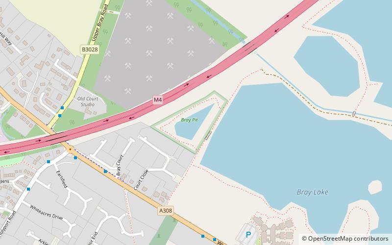
Bray Pit, Maidenhead
Map

Map

Facts and practical information
Bray Pit is a nature reserve on the edge of the village of Holyport in Berkshire, England. The nature reserve was under the management of the Berkshire, Buckinghamshire and Oxfordshire Wildlife Trust, but as of December 2019 is no longer listed on the Trust web site. ()
Coordinates: 51°30'1"N, 0°41'52"W
Address
Maidenhead
ContactAdd
Social media
Add
Day trips
Bray Pit – popular in the area (distance from the attraction)
Nearby attractions include: The Fat Duck, St Michael's Church, Bray, Bray Marina.
Frequently Asked Questions (FAQ)
Which popular attractions are close to Bray Pit?
Nearby attractions include Bray Lake Watersports, Maidenhead (7 min walk), Bray, Maidenhead (11 min walk), St Michael's Church, Maidenhead (17 min walk), Bray Marina, Maidenhead (18 min walk).
How to get to Bray Pit by public transport?
The nearest stations to Bray Pit:
Bus
Bus
- Old Marsh Lane • Lines: 63, 68 (27 min walk)
- Harcourt Road • Lines: 63, 68 (28 min walk)


