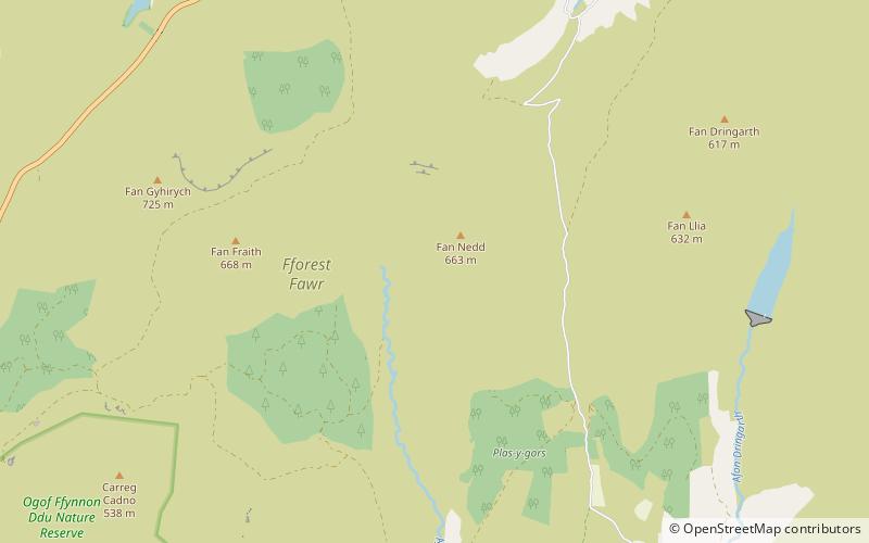
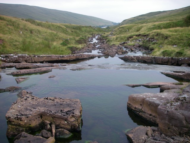
Fforest Fawr, Brecon Beacons

Gallery (2)
Map
Map
Gallery
Facts and practical information
Fforest Fawr is an extensive upland area in the county of Powys, Wales. Formerly known as the Great Forest of Brecknock in English, it was a royal hunting area for several centuries but is now used primarily for sheep grazing, forestry, water catchment and recreation. It lies within the Brecon Beacons National Park. ()
Coordinates: 51°50'60"N, 3°34'60"W
Address
Brecon Beacons
ContactAdd
Social media
Add
Day trips


