Knipescar Common
Map

Map

Facts and practical information
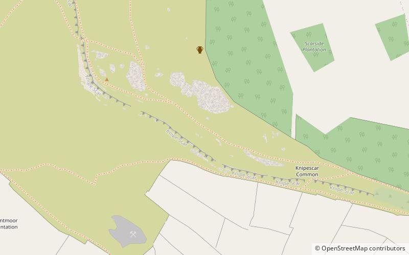
Knipescar Common, or Knipe Scar, is an upland area in the east of the English Lake District, above the River Lowther, near Bampton, Cumbria. It is the subject of a chapter of Wainwright's book The Outlying Fells of Lakeland. The summit is "indefinite" but reaches 1,118 feet and there are limestone outcrops and an ancient enclosure. Wainwright commends the views which include Blencathra to the north and "a continuous skyline of the higher Pennines." ()
Coordinates: 54°33'50"N, 2°43'46"W
Location
England
ContactAdd
Social media
Add
Day trips
Knipescar Common – popular in the area (distance from the attraction)
Nearby attractions include: Haweswater Reservoir, Shap Abbey, St Laurence's Church, Lowther Castle.


