Wether Hill
#3843 among destinations in the United Kingdom
![Wether Hill location map](https://tzmedia.b-cdn.net/media/images/static-maps/gb/54_54334_-2_84282.jpg)
Facts and practical information
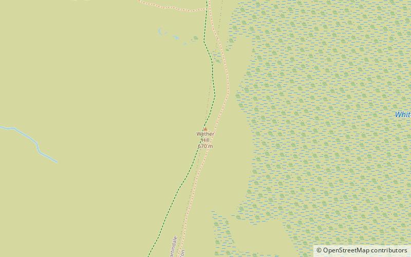
Wether Hill is a fell in the English Lake District, between Martindale and Haweswater. It lies on the main north-south ridge of the Far Eastern Fells between Loadpot Hill and High Raise. Lesser ridges also radiate out to the east and north-west. ()
EnglandUnited Kingdom
Wether Hill plan & book
Unleash the traveler in you — discover the cheapest flight deals, find the perfect hotel or hostel nearby, and search for the best car rental prices. Travel at your own pace to discover new places and enjoy your journey.
Wether Hill – popular in the area (distance from the attraction)
Nearby attractions include: Ullswater, Haweswater Reservoir, St Peter's Church, Rampsgill Head.
2.9 miNWNature, Natural attraction, LakeUllswater
76 min walk • Nestled in the heart of the Lake District National Park, Ullswater is the second largest lake in England, renowned for its stunning beauty and tranquility. Stretching over nine miles, the lake is a serpentine body of water that mirrors the surrounding fells, offering a...
2.5 miSELakeHaweswater Reservoir
64 min walk • Nestled in the verdant landscape of the Lake District in England, Haweswater Reservoir is a testament to both human ingenuity and the serene beauty of nature. This expansive reservoir was created in the 1930s with the construction of the Haweswater Dam, primarily...
1.9 miNWChurchSt Peter's Church
49 min walk • St Peter’s Church is situated in the valley of Martindale in Cumbria, England. The church is located at the top of the hause on the minor road between Martindale and Howtown.
2.4 miSNature, Cliff, Natural attractionRampsgill Head
62 min walk • Rampsgill Head is a fell in the English Lake District, standing to the west of Haweswater Reservoir in the Far Eastern Fells. It forms the focal point of three ridges which fan out north-east, north-west and south.
2.1 miNWValleyBoredale
53 min walk • Boredale sometimes known as Boardale, is a valley within Lake District National Park, in Cumbria, England. The valley is close to the eastern shore of Ullswater and lies between the hills of Place Fell to the west and Beda Fell to the east.
1.6 miSWHillThe Nab
42 min walk • The Nab is a fell in the English Lake District. It has a moderate height of 576 metres, and lies in the quieter eastern high ground between Ullswater and Haweswater Reservoir.
1.7 miNWChurchSt Martin's Church
43 min walk • St Martin's Church, Martindale is located in the valley of Martindale in Cumbria, England. It is often referred to as the "Old Church" to avoid confusion with the nearby St Peter's Church which is situated half a mile down the valley.
1.7 miWHillBeda Fell
43 min walk • Beda Fell is a fell in the English Lake District, situated to the south of Ullswater. It divides the valleys of Boredale and Bannerdale within the Martindale system.
3.1 miWNatural attraction, Hill, MountainPlace Fell
80 min walk • Place Fell is a hill in the English Lake District. It stands at the corner of the upper and middle reaches of Ullswater, with steep western flanks overlooking the villages of Glenridding and Patterdale.
2.8 miSWNature, Natural attraction, LakeAngle Tarn
73 min walk • Angle Tarn is a tarn in Cumbria, England, within the Lake District National Park, about a mile north-east of Hartsop. Located at an altitude of 479 m, the lake has an area of 5.9 hectares, measures 385 by 260 m, with a maximum depth of 9 m.
2.4 miNNature, Natural attraction, HillArthur's Pike
61 min walk • Arthur's Pike is a fell in the English Lake District, near Ullswater. It is a subsidiary top on the ridge falling north from Loadpot Hill in the Far Eastern Fells. An extensive craggy face stands above the lower reach of Ullswater.