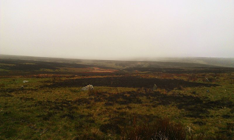
Porlock Stone Circle, Exmoor National Park

Gallery (3)
Map
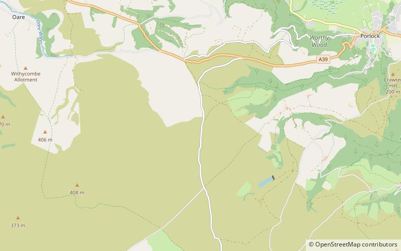
Map
Gallery
Facts and practical information
Porlock Stone Circle is a stone circle located on Exmoor, near the village of Porlock in the south-western English county of Somerset. The Porlock ring is part of a tradition of stone circle construction that spread throughout much of Britain, Ireland, and Brittany during the Late Neolithic and Early Bronze Age, over a period between 3300 and 900 BCE. The purpose of such monuments is unknown, although archaeologists speculate that the stones represented supernatural entities for the circles' builders. ()
Coordinates: 51°11'22"N, 3°39'14"W
Address
Exmoor National Park
ContactAdd
Social media
Add
Day trips


