Bromford, Birmingham

Gallery (2)
Map

Map
Gallery
Facts and practical information
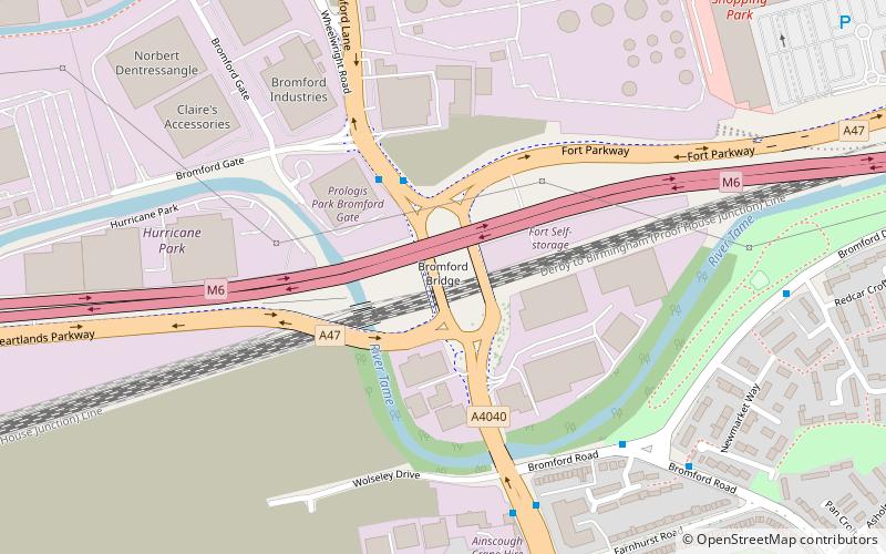
The Bromford Viaduct carries the M6 motorway between Castle Bromwich and Gravelly Hill along the River Tame valley in Birmingham, England. This elevated stretch of motorway above the Tame itself is 3+1⁄2 miles long, which makes it the longest viaduct in Great Britain, being 1⁄4 mile longer than the Second Severn Crossing. It was constructed during the period 1964–1972. ()
Coordinates: 52°30'19"N, 1°49'53"W
Address
NechellsBirmingham
ContactAdd
Social media
Add
Getting there by public transportation
Public transportation stops near this location
- Bus
- Train
 Bus
Bus
- Calculate routeTyburn Rd / Kingsbury Rd 26 min walk
- Calculate routeGravelly Hill 30 min walk
Day trips


Frequently Asked Questions (FAQ)
How to get to Bromford by public transport?
The nearest stations to Bromford:
Bus
Train
Bus
- Tyburn Rd / Kingsbury Rd • Lines: X14 (26 min walk)
Train
- Gravelly Hill (30 min walk)