Northfleet Urban Country Park, Gravesend
Map
Facts and practical information
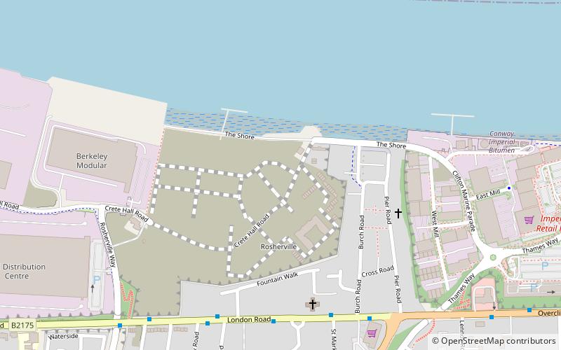
Northfleet Urban Country Park is in Northfleet, in Kent, England. The site is land encompassed by Springhead Road, Thames Way, west of Vale Road and the railway. The site is owned by and managed by Gravesham Borough Council. ()
Created: 1996Elevation: 33 ft a.s.l.Coordinates: 51°26'42"N, 0°21'7"E
Getting there by public transportation
Public transportation stops near this location
- Bus
- Train
- Ferry
 Bus
Bus
- Calculate routeFountain Walk 5 min walk
- Calculate routeArriva Depot 6 min walk
- Calculate routeBurch Road 6 min walk
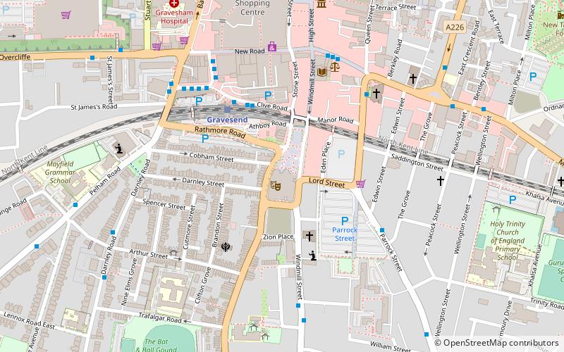
- Calculate routeGravesend 18 min walk
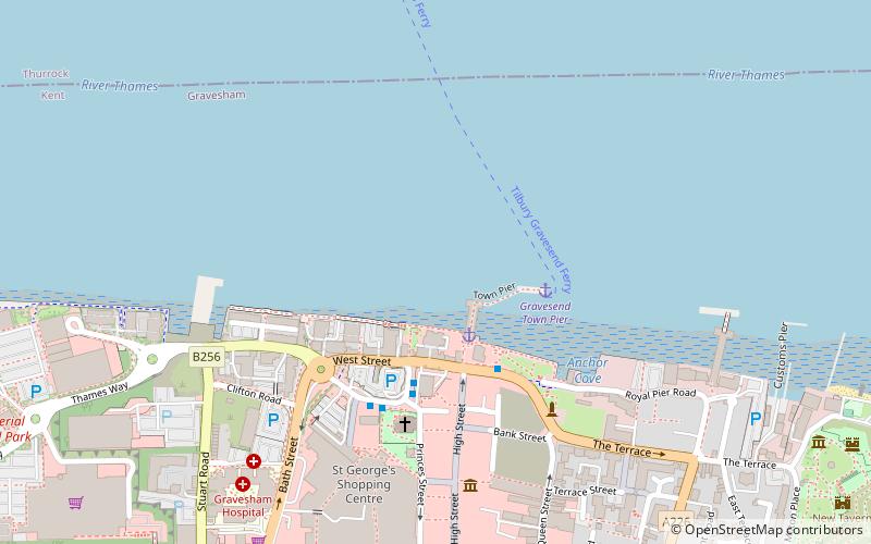
- Calculate routeTilbury Landing Stage 19 min walk
- Calculate routeGravesend Town Pier 22 min walk
Day trips


Frequently Asked Questions (FAQ)
Which popular attractions are close to Northfleet Urban Country Park?
Nearby attractions include St George's Church, Gravesend (18 min walk), Town Pier, Gravesend (20 min walk), The Woodville, Gravesend (21 min walk), Gravesend Town Hall, Gravesend (21 min walk).
How to get to Northfleet Urban Country Park by public transport?
The nearest stations to Northfleet Urban Country Park:
Bus
Train
Ferry
Bus
- Fountain Walk • Lines: 480, 490 (5 min walk)
- Arriva Depot • Lines: 480, 490 (6 min walk)
Train
- Gravesend (18 min walk)
Ferry
- Tilbury Landing Stage • Lines: Gravesend-Tillbury Foot Ferry, Tillbury-Gravesend Foot Ferry (19 min walk)
- Gravesend Town Pier • Lines: Gravesend-Tillbury Foot Ferry, Tillbury-Gravesend Foot Ferry (22 min walk)