Gravesend Lifeboat Station, Gravesend
Map
Facts and practical information
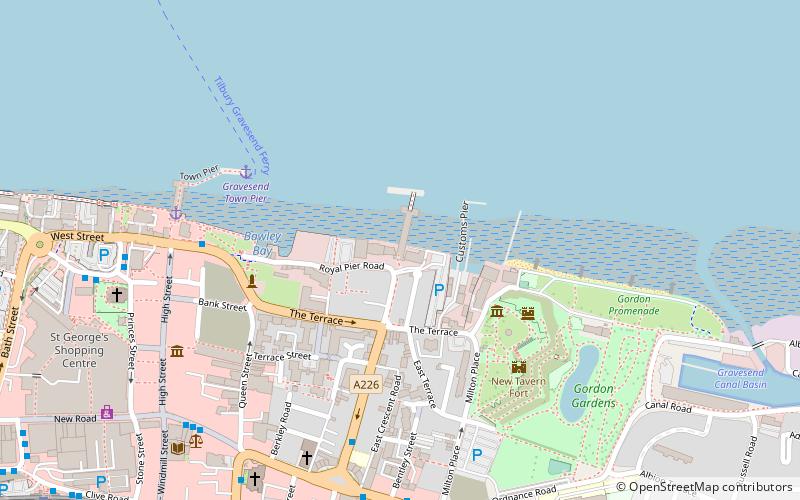
Gravesend Lifeboat Station is situated on the Royal Terrace Pier in Gravesend, Kent, on the lower reaches of the River Thames. It is one of the newest lifeboat stations operated by the Royal National Lifeboat Institution, and one of the first to cover a river rather than the sea or estuarial waters. ()
Coordinates: 51°26'41"N, 0°22'28"E
Address
RiversideGravesend
ContactAdd
Social media
Add
Getting there by public transportation
Public transportation stops near this location
- Bus
- Train
- Ferry
 Bus
Bus
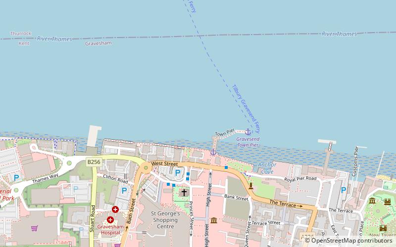
- Calculate routeGravesend Town Pier 5 min walk
- Calculate routeTilbury Landing Stage 14 min walk
- Calculate routeWest Street 5 min walk
- Calculate routeClock Tower Harmer Street 5 min walk
- Calculate routeClock Tower 6 min walk
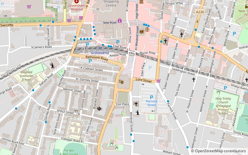
- Calculate routeGravesend 11 min walk
Day trips


Frequently Asked Questions (FAQ)
Which popular attractions are close to Gravesend Lifeboat Station?
Nearby attractions include Royal Terrace Pier, Gravesend (1 min walk), Milton Chantry, Gravesend (3 min walk), New Tavern Fort, Gravesend (4 min walk), Gravesend Town Hall, Gravesend (5 min walk).
How to get to Gravesend Lifeboat Station by public transport?
The nearest stations to Gravesend Lifeboat Station:
Ferry
Bus
Train
Ferry
- Gravesend Town Pier • Lines: Gravesend-Tillbury Foot Ferry, Tillbury-Gravesend Foot Ferry (5 min walk)
- Tilbury Landing Stage • Lines: Gravesend-Tillbury Foot Ferry, Tillbury-Gravesend Foot Ferry (14 min walk)
Bus
- West Street • Lines: 190, 416, 455, 480, 481, 483, 490 (5 min walk)
- Clock Tower Harmer Street • Lines: 416, 489 (5 min walk)
Train
- Gravesend (11 min walk)